fdm_26_Czarnolas
- 36.8 km
- 92 m
- 93 m
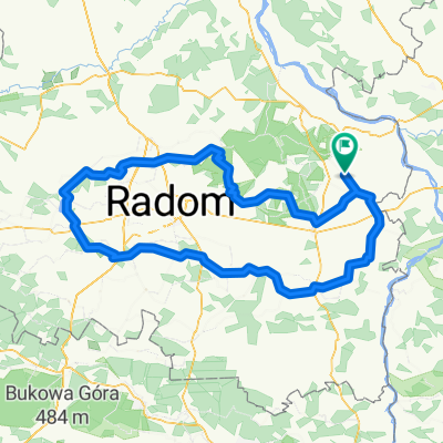
- Gmina Policzna, Masovian Voivodeship, Poland
A cycling route starting in Gmina Policzna, Masovian Voivodeship, Poland.
Overview
created this 6 years ago
Route quality
Road
53.8 km
(50 %)
Quiet road
34.4 km
(32 %)
Paved
84 km
(78 %)
Unpaved
3.2 km
(3 %)
Asphalt
81.8 km
(76 %)
Concrete
2.2 km
(2 %)
Continue with Bikemap
You would like to ride Gródek - Nałęczów - Gródek or customize it for your own trip? Here is what you can do with this Bikemap route:
Free trial for 3 days, or one-time payment. More about Bikemap Premium.
Discover more Premium features.
Get Bikemap PremiumFrom our community
Open it in the app