Giro d’Italia 14.-22.07.2017
- 763.4 km
- 17,239 m
- 17,260 m
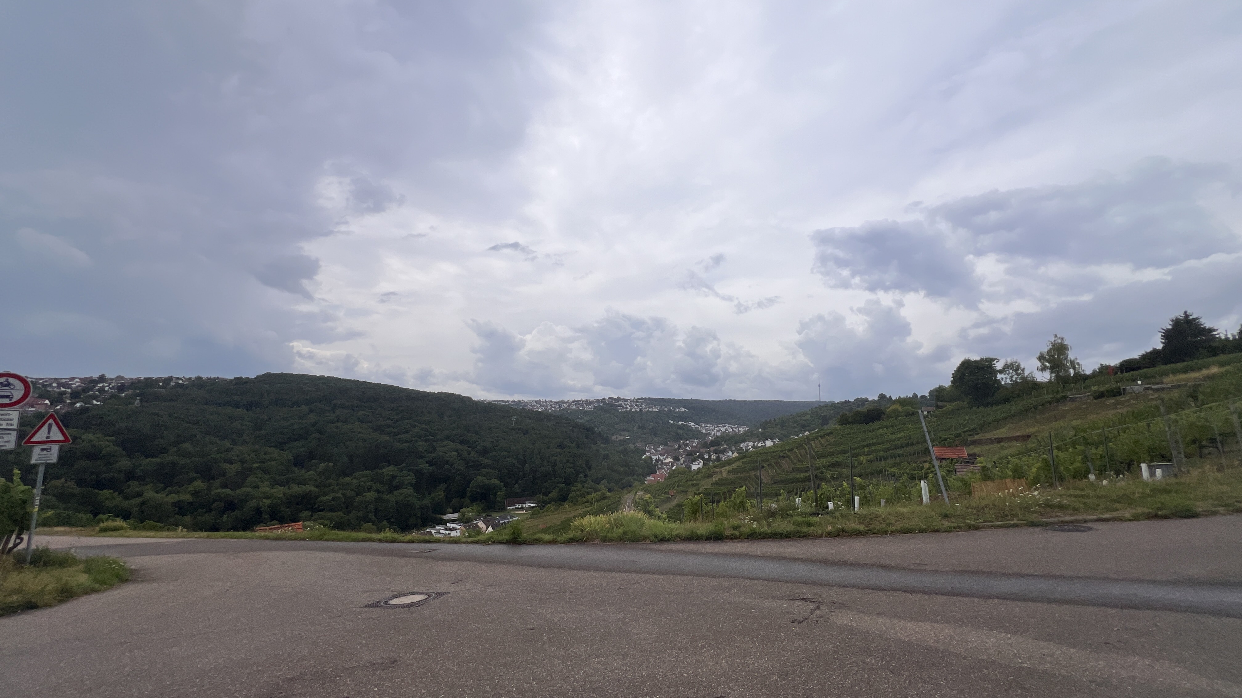
- Ostfildern, Baden-Wurttemberg, Germany
A cycling route starting in Ostfildern, Baden-Wurttemberg, Germany.
Overview
created this 6 years ago
Route quality
Track
37 km
(35 %)
Path
21.1 km
(20 %)
Paved
84.5 km
(80 %)
Unpaved
16.9 km
(16 %)
Asphalt
76.1 km
(72 %)
Gravel
8.5 km
(8 %)
Continue with Bikemap
You would like to ride Metric Ton to Tübingen. or customize it for your own trip? Here is what you can do with this Bikemap route:
Free trial for 3 days, or one-time payment. More about Bikemap Premium.
Discover more Premium features.
Get Bikemap PremiumFrom our community
Open it in the app