De Avenida de Madrid 19, Alcobendas a Calle Avila 6, San Sebastián de los Reyes
- 60.4 km
- 161 m
- 669 m
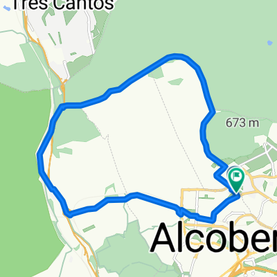
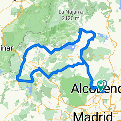
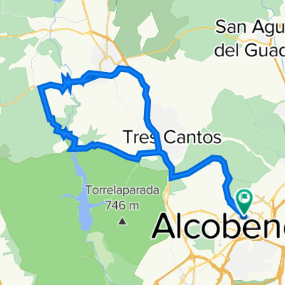
- Alcobendas, Madrid, Spain
Free trial for 3 days, or one-time payment. More about Bikemap Premium.
Discover more Premium features.
Get Bikemap PremiumOpen it in the app