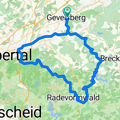
16. Talsperrenrundfahrt (70km Strecke)
- 69.8 km
- 1,027 m
- 1,017 m
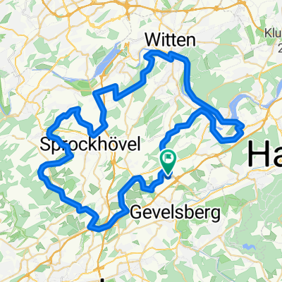
- Gevelsberg, North Rhine-Westphalia, Germany
A cycling route starting in Gevelsberg, North Rhine-Westphalia, Germany.
Overview
Route quality
Quiet road
21 km
(32 %)
Road
17 km
(26 %)
Paved
61.5 km
(94 %)
Unpaved
2 km
(3 %)
Asphalt
60.2 km
(92 %)
Paved (undefined)
1.3 km
(2 %)
Route highlights
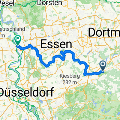
2. Kontrolle 111km / 1. Kontrolle 41/71Km / 24,6km und ca 390Hm bis zur nächsten Kontrolle (111/71km) / 18,4km und ca 290Hm bis zum Ziel (41km)
3. Kontrolle 111km / 18,5km und ca 230Hm bis zum Ziel
Continue with Bikemap
You would like to ride RTF Tour de Ruhr - 71km or customize it for your own trip? Here is what you can do with this Bikemap route:
Free trial for 3 days, or one-time payment. More about Bikemap Premium.
Discover more Premium features.
Get Bikemap PremiumFrom our community
Open it in the app