Way Fruit Farm (30miles)
- 51.3 km
- 304 m
- 305 m
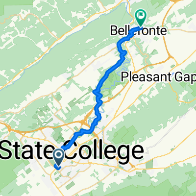
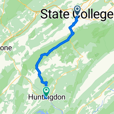
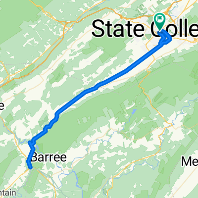
- State College, Pennsylvania, United States
A cycling route starting in State College, Pennsylvania, United States.
Overview
created this 6 years ago
Route quality
Quiet road
29.6 km
(75 %)
Cycleway
4.3 km
(11 %)
Paved
13.4 km
(34 %)
Unpaved
25.3 km
(64 %)
Gravel
22.5 km
(57 %)
Asphalt
13.4 km
(34 %)
Continue with Bikemap
You would like to ride A. State College to Greenwood Fire Tower or customize it for your own trip? Here is what you can do with this Bikemap route:
Free trial for 3 days, or one-time payment. More about Bikemap Premium.
Discover more Premium features.
Get Bikemap PremiumFrom our community
Open it in the app