sunday ride
A cycling route starting in High Wycombe, England, United Kingdom.
Overview
About this route
- -:--
- Duration
- 92.8 km
- Distance
- 546 m
- Ascent
- 665 m
- Descent
- ---
- Avg. speed
- ---
- Avg. speed
Route quality
Waytypes & surfaces along the route
Waytypes
Road
34.6 km
(37 %)
Quiet road
27.2 km
(29 %)
Surfaces
Paved
34.6 km
(37 %)
Unpaved
3 km
(3 %)
Asphalt
33.2 km
(36 %)
Gravel
1.7 km
(2 %)
Continue with Bikemap
Use, edit, or download this cycling route
You would like to ride sunday ride or customize it for your own trip? Here is what you can do with this Bikemap route:
Free features
- Save this route as favorite or in collections
- Copy & plan your own version of this route
- Sync your route with Garmin or Wahoo
Premium features
Free trial for 3 days, or one-time payment. More about Bikemap Premium.
- Navigate this route on iOS & Android
- Export a GPX / KML file of this route
- Create your custom printout (try it for free)
- Download this route for offline navigation
Discover more Premium features.
Get Bikemap PremiumFrom our community
Other popular routes starting in High Wycombe
- Eton Loop
- Distance
- 66.7 km
- Ascent
- 412 m
- Descent
- 409 m
- Location
- High Wycombe, England, United Kingdom
- Little Kingshill & Speen Loop
- Distance
- 18.8 km
- Ascent
- 209 m
- Descent
- 213 m
- Location
- High Wycombe, England, United Kingdom
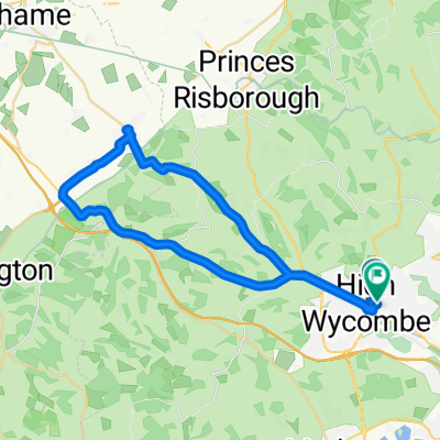
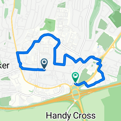
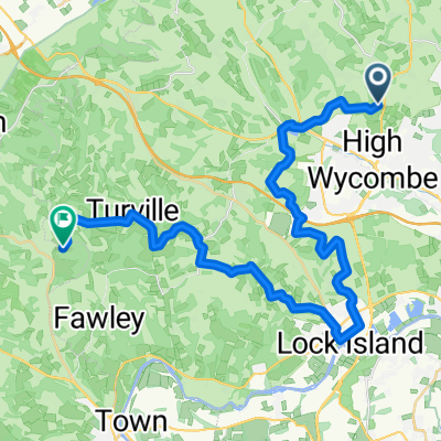
- Lady Verney Close 18 to Lady Verney Close 19
- Distance
- 19.8 km
- Ascent
- 68 m
- Descent
- 161 m
- Location
- High Wycombe, England, United Kingdom
- Sunday Spin
- Distance
- 32.5 km
- Ascent
- 291 m
- Descent
- 291 m
- Location
- High Wycombe, England, United Kingdom
- HW40k
- Distance
- 40.6 km
- Ascent
- 350 m
- Descent
- 350 m
- Location
- High Wycombe, England, United Kingdom
- ride through High Wycombe
- Distance
- 24 km
- Ascent
- 233 m
- Descent
- 233 m
- Location
- High Wycombe, England, United Kingdom
- Cadmore end to marlow
- Distance
- 32.4 km
- Ascent
- 321 m
- Descent
- 331 m
- Location
- High Wycombe, England, United Kingdom
- Harriss' WCC Lockdown Route
- Distance
- 100.9 km
- Ascent
- 610 m
- Descent
- 616 m
- Location
- High Wycombe, England, United Kingdom
Open it in the app