Schwammerlstein Runde
A cycling route starting in Perg, Upper Austria, Austria.
Overview
About this route
Departure + arrival: Bad Zell, information office at Hotel Lebensquell.
Up Kurhausstraße to Mitterkrinner, straight ahead and at Wiesinger turn right down to GH Schartmühle.
Through the round arch of the building complex, then after a short distance turn right. Now it's a very steep climb for the next 60 meters of elevation and another 40 meters uphill until after 6 km you reach Schwammerstein at 560 m.
Afterwards, the forest track leads downhill to the Naarn, which you follow right to GH Raabmühle.
Now cross the road and then a very steep 50 m climb and another 50 m quite steep up to Stadleder. Continue up the asphalt road past the Zellhof-Wirt and then descend back to the starting point in Bad Zell.
Total (net) riding time: 1:10 h
Climbing meters: approx. 460 (those indicated by .bikenet are not correct)
- -:--
- Duration
- 14.1 km
- Distance
- 418 m
- Ascent
- 419 m
- Descent
- ---
- Avg. speed
- ---
- Max. altitude
Route photos
Route quality
Waytypes & surfaces along the route
Waytypes
Track
7.6 km
(54 %)
Quiet road
3.9 km
(28 %)
Surfaces
Unpaved
5.4 km
(38 %)
Ground
3.4 km
(24 %)
Unpaved (undefined)
1.1 km
(8 %)
Continue with Bikemap
Use, edit, or download this cycling route
You would like to ride Schwammerlstein Runde or customize it for your own trip? Here is what you can do with this Bikemap route:
Free features
- Save this route as favorite or in collections
- Copy & plan your own version of this route
- Sync your route with Garmin or Wahoo
Premium features
Free trial for 3 days, or one-time payment. More about Bikemap Premium.
- Navigate this route on iOS & Android
- Export a GPX / KML file of this route
- Create your custom printout (try it for free)
- Download this route for offline navigation
Discover more Premium features.
Get Bikemap PremiumFrom our community
Other popular routes starting in Perg
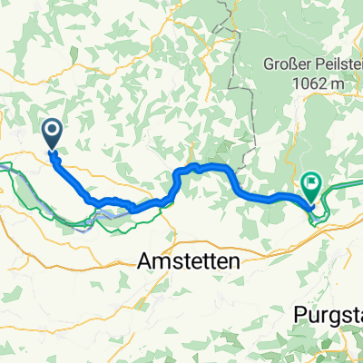 Dr-Schober-Straße, Perg a Schubertstraße, Persenbeug-Gottsdorf
- Distance
- 46.4 km
- Ascent
- 244 m
- Descent
- 269 m
- Location
- Perg, Upper Austria, Austria
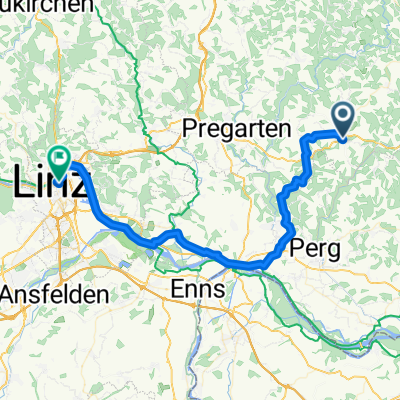 von Bad Zell nach Linz
- Distance
- 50.7 km
- Ascent
- 339 m
- Descent
- 597 m
- Location
- Perg, Upper Austria, Austria
 Ausztriai Duna tura 4. nap
- Distance
- 40.7 km
- Ascent
- 123 m
- Descent
- 131 m
- Location
- Perg, Upper Austria, Austria
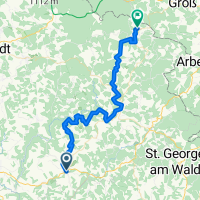 Tour de Alm Tag 1
- Distance
- 50.1 km
- Ascent
- 1,998 m
- Descent
- 1,571 m
- Location
- Perg, Upper Austria, Austria
 Hafenstraße, Naarn im Machlande to Hafenstraße, Grein
- Distance
- 32.5 km
- Ascent
- 105 m
- Descent
- 113 m
- Location
- Perg, Upper Austria, Austria
 Au - Pasau Donauradweg
- Distance
- 125.4 km
- Ascent
- 363 m
- Descent
- 297 m
- Location
- Perg, Upper Austria, Austria
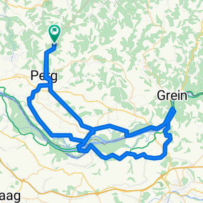 Allerheiligen-Stift-Ardagger
- Distance
- 79.1 km
- Ascent
- 1,011 m
- Descent
- 1,002 m
- Location
- Perg, Upper Austria, Austria
 11. Naarn im Machlande-Engelhartszell
- Distance
- 100.2 km
- Ascent
- 1,243 m
- Descent
- 1,185 m
- Location
- Perg, Upper Austria, Austria
Open it in the app


