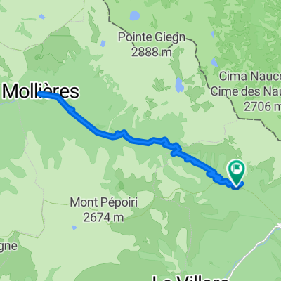
Route des Grandes Alpes 2019 - Tag 7
A cycling route starting in Saint-Martin-V茅subie, Provence-Alpes-C么te d'Azur Region, France.
Overview
About this route
- Etappe der geplanten Transalp von Genf nach Menton
- -:--
- Duration
- 103.1 km
- Distance
- 2,428 m
- Ascent
- 2,916 m
- Descent
- ---
- Avg. speed
- ---
- Avg. speed
Route quality
Waytypes & surfaces along the route
Waytypes
Busy road
53.5 km
(52 %)
Road
45.1 km
(44 %)
Surfaces
Paved
39.1 km
(38 %)
Unpaved
0 km
(<1 %)
Asphalt
39.1 km
(38 %)
Gravel
0 km
(<1 %)
Undefined
64 km
(62 %)
Continue with Bikemap
Use, edit, or download this cycling route
You would like to ride Route des Grandes Alpes 2019 - Tag 7 or customize it for your own trip? Here is what you can do with this Bikemap route:
Free features
- Save this route as favorite or in collections
- Copy & plan your own version of this route
- Split it into stages to create a multi-day tour
- Sync your route with Garmin or Wahoo
Premium features
Free trial for 3 days, or one-time payment. More about Bikemap Premium.
- Navigate this route on iOS & Android
- Export a GPX / KML file of this route
- Create your custom printout (try it for free)
- Download this route for offline navigation
Discover more Premium features.
Get Bikemap PremiumFrom our community
Other popular routes starting in Saint-Martin-V茅subie
- Dalle Alpi al Mont Ventoux: Giorno 2: Roure - Castellane
- Distance
- 104.7 km
- Ascent
- 1,736 m
- Descent
- 2,105 m
- Location
- Saint-Martin-V茅subie, Provence-Alpes-C么te d'Azur Region, France
- 2012-08-17 Saint Martin Vesubie-Duranus-Nice-Menton-Late (It.)
- Distance
- 96.6 km
- Ascent
- 842 m
- Descent
- 1,739 m
- Location
- Saint-Martin-V茅subie, Provence-Alpes-C么te d'Azur Region, France
- Etapa 085B (Valdeblore - Cagnes sur Mer)
- Distance
- 144.2 km
- Ascent
- 4,370 m
- Descent
- 5,570 m
- Location
- Saint-Martin-V茅subie, Provence-Alpes-C么te d'Azur Region, France
- Bonette route: St saveur de Tinee - La Bonette (2802 m) - Jausiers
- Distance
- 77.3 km
- Ascent
- 2,242 m
- Descent
- 1,572 m
- Location
- Saint-Martin-V茅subie, Provence-Alpes-C么te d'Azur Region, France
- France, Alpes Sud 1 : Menton - Isola 2000 (Col de la Lombarde)
- Distance
- 175.2 km
- Ascent
- 2,912 m
- Descent
- 5,224 m
- Location
- Saint-Martin-V茅subie, Provence-Alpes-C么te d'Azur Region, France
- MS 11b, Valdeblore - San Remo - MS 11b, Valdeblore - San Remo
- Distance
- 137.3 km
- Ascent
- 2,617 m
- Descent
- 3,589 m
- Location
- Saint-Martin-V茅subie, Provence-Alpes-C么te d'Azur Region, France
- MS 11a, Valdeblore - San Remo - MS 11a, Valdeblore - San Remo
- Distance
- 131.7 km
- Ascent
- 2,519 m
- Descent
- 3,495 m
- Location
- Saint-Martin-V茅subie, Provence-Alpes-C么te d'Azur Region, France
- RdGA - Stage 7
- Distance
- 131.4 km
- Ascent
- 2,802 m
- Descent
- 3,293 m
- Location
- Saint-Martin-V茅subie, Provence-Alpes-C么te d'Azur Region, France
Open it in the app