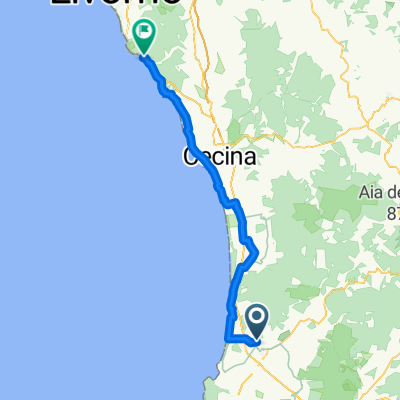
sss111
A cycling route starting in Venturina, Tuscany, Italy.
Overview
About this route
- 6 h 20 min
- Duration
- 37.2 km
- Distance
- 359 m
- Ascent
- 350 m
- Descent
- 5.9 km/h
- Avg. speed
- ---
- Avg. speed
Route photos
Route quality
Waytypes & surfaces along the route
Waytypes
Path
8.6 km
(23 %)
Busy road
7.1 km
(19 %)
Surfaces
Paved
16 km
(43 %)
Unpaved
15.2 km
(41 %)
Asphalt
11.7 km
(31 %)
Ground
11 km
(30 %)
Continue with Bikemap
Use, edit, or download this cycling route
You would like to ride sss111 or customize it for your own trip? Here is what you can do with this Bikemap route:
Free features
- Save this route as favorite or in collections
- Copy & plan your own version of this route
- Sync your route with Garmin or Wahoo
Premium features
Free trial for 3 days, or one-time payment. More about Bikemap Premium.
- Navigate this route on iOS & Android
- Export a GPX / KML file of this route
- Create your custom printout (try it for free)
- Download this route for offline navigation
Discover more Premium features.
Get Bikemap PremiumFrom our community
Other popular routes starting in Venturina
- venturina campiglia suvereto venturina
- Distance
- 24.7 km
- Ascent
- 348 m
- Descent
- 350 m
- Location
- Venturina, Tuscany, Italy
- Populonia Maxi-Trail
- Distance
- 25.4 km
- Ascent
- 530 m
- Descent
- 534 m
- Location
- Venturina, Tuscany, Italy
- MTB Tour Park Albatros
- Distance
- 30.4 km
- Ascent
- 413 m
- Descent
- 416 m
- Location
- Venturina, Tuscany, Italy
- TuscanyTrail25EXE
- Distance
- 441.5 km
- Ascent
- 5,181 m
- Descent
- 5,185 m
- Location
- Venturina, Tuscany, Italy
- TuscanyTrail25EXE
- Distance
- 441.1 km
- Ascent
- 5,181 m
- Descent
- 5,185 m
- Location
- Venturina, Tuscany, Italy
- TuscanyTrail25EXE
- Distance
- 495 km
- Ascent
- 8,554 m
- Descent
- 8,556 m
- Location
- Venturina, Tuscany, Italy
- VELA2010_Corsica e Capraia in catamarano
- Distance
- 253.4 km
- Ascent
- 2,280 m
- Descent
- 2,337 m
- Location
- Venturina, Tuscany, Italy
- Venturina Campiglia Suvereto S Lorenzo Cafaggio Venturina
- Distance
- 34.4 km
- Ascent
- 273 m
- Descent
- 272 m
- Location
- Venturina, Tuscany, Italy
Open it in the app