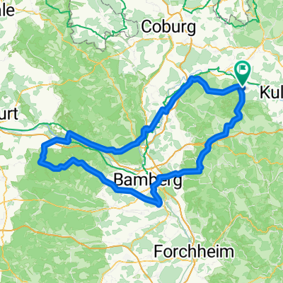
Altenkunstadt - Bamberg
A cycling route starting in Altenkunstadt, Bavaria, Germany.
Overview
About this route
- -:--
- Duration
- 59.2 km
- Distance
- 160 m
- Ascent
- 176 m
- Descent
- ---
- Avg. speed
- ---
- Avg. speed
Route quality
Waytypes & surfaces along the route
Waytypes
Quiet road
24 km
(41 %)
Track
14.1 km
(24 %)
Surfaces
Paved
50 km
(84 %)
Unpaved
5.8 km
(10 %)
Asphalt
47.3 km
(80 %)
Gravel
3.5 km
(6 %)
Continue with Bikemap
Use, edit, or download this cycling route
You would like to ride Altenkunstadt - Bamberg or customize it for your own trip? Here is what you can do with this Bikemap route:
Free features
- Save this route as favorite or in collections
- Copy & plan your own version of this route
- Sync your route with Garmin or Wahoo
Premium features
Free trial for 3 days, or one-time payment. More about Bikemap Premium.
- Navigate this route on iOS & Android
- Export a GPX / KML file of this route
- Create your custom printout (try it for free)
- Download this route for offline navigation
Discover more Premium features.
Get Bikemap PremiumFrom our community
Other popular routes starting in Altenkunstadt
- 2018_05_Burkheim_Schederndorf
- Distance
- 51.2 km
- Ascent
- 435 m
- Descent
- 435 m
- Location
- Altenkunstadt, Bavaria, Germany
- 2018_04 Borkum - Monstah
- Distance
- 41.8 km
- Ascent
- 380 m
- Descent
- 380 m
- Location
- Altenkunstadt, Bavaria, Germany
- Deutschland Tour 2025
- Distance
- 2,797 km
- Ascent
- 8,214 m
- Descent
- 8,184 m
- Location
- Altenkunstadt, Bavaria, Germany
- Große Steigerwald Runde
- Distance
- 176.1 km
- Ascent
- 780 m
- Descent
- 783 m
- Location
- Altenkunstadt, Bavaria, Germany
- 2021_03_10_
- Distance
- 56.1 km
- Ascent
- 389 m
- Descent
- 389 m
- Location
- Altenkunstadt, Bavaria, Germany
- D-B 14 a Altenkunstadt - Muenchberg
- Distance
- 56 km
- Ascent
- 402 m
- Descent
- 157 m
- Location
- Altenkunstadt, Bavaria, Germany
- Main Radweg
- Distance
- 33 km
- Ascent
- 191 m
- Descent
- 191 m
- Location
- Altenkunstadt, Bavaria, Germany
- RVC2012_1
- Distance
- 83.7 km
- Ascent
- 531 m
- Descent
- 433 m
- Location
- Altenkunstadt, Bavaria, Germany
Open it in the app