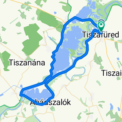
TdF2026 1. nap
- 53.4 km
- 32 m
- 31 m
- Tiszafüred, Jász-Nagykun-Szolnok, Hungary


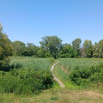
Access road
45.3 km72 %Quiet road
8.8 km14 %Paved
52.8 km(84 %)Unpaved
0.6 km(1 %)Asphalt
51.6 km82 %Concrete
1.3 km2 %Free trial for 3 days, or one-time payment. More about Bikemap Premium.
Discover more Premium features.
Get Bikemap PremiumOpen it in the app