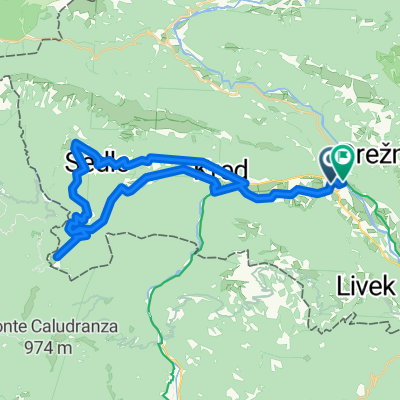
Breginj-Stanovišče-Borjana-Kred-Podbela-pod Lupom-Logje-Breginj
- 21 km
- 467 m
- 469 m
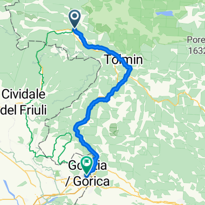
- Kobarid, Kobarid Municipality, Slovenia
A cycling route starting in Kobarid, Kobarid Municipality, Slovenia.
Overview
25.5.2019
created this 6 years ago
Route quality
Quiet road
12.4 km
(100 %)
Paved
5.4 km
(44 %)
Asphalt
5.4 km
(44 %)
Undefined
6.9 km
(56 %)
Route highlights
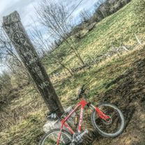
LETEČI ŠTART
Continue with Bikemap
You would like to ride Vzpon na Kuhinjo or customize it for your own trip? Here is what you can do with this Bikemap route:
Free trial for 3 days, or one-time payment. More about Bikemap Premium.
Discover more Premium features.
Get Bikemap PremiumFrom our community
Open it in the app