

Tignes Cormet De Roselend Val Thorens 151km
A cycling route starting in Tignes, Auvergne-Rhône-Alpes, France.
Overview
About this route
- -:--
- Duration
- 151.4 km
- Distance
- 3,147 m
- Ascent
- 2,928 m
- Descent
- ---
- Avg. speed
- ---
- Max. altitude

Route quality
Waytypes & surfaces along the route
Waytypes
Busy road
125.7 km
(83 %)
Quiet road
15.3 km
(10 %)
Surfaces
Paved
96.9 km
(64 %)
Unpaved
1.5 km
(1 %)
Asphalt
96.9 km
(64 %)
Pebblestone
1 km
(<1 %)
Continue with Bikemap
Use, edit, or download this cycling route
You would like to ride Tignes Cormet De Roselend Val Thorens 151km or customize it for your own trip? Here is what you can do with this Bikemap route:
Free features
- Save this route as favorite or in collections
- Copy & plan your own version of this route
- Split it into stages to create a multi-day tour
- Sync your route with Garmin or Wahoo
Premium features
Free trial for 3 days, or one-time payment. More about Bikemap Premium.
- Navigate this route on iOS & Android
- Export a GPX / KML file of this route
- Create your custom printout (try it for free)
- Download this route for offline navigation
Discover more Premium features.
Get Bikemap PremiumFrom our community
Other popular routes starting in Tignes
 to furnicular
- Distance
- 0.6 km
- Ascent
- 12 m
- Descent
- 32 m
- Location
- Tignes, Auvergne-Rhône-Alpes, France
 TIGNES - COL DE L'ISERAN
- Distance
- 28.6 km
- Ascent
- 1,267 m
- Descent
- 595 m
- Location
- Tignes, Auvergne-Rhône-Alpes, France
 Guillestre - Tignes
- Distance
- 231.2 km
- Ascent
- 4,232 m
- Descent
- 5,325 m
- Location
- Tignes, Auvergne-Rhône-Alpes, France
 Tignes - Col D´Iseran
- Distance
- 30.6 km
- Ascent
- 1,209 m
- Descent
- 583 m
- Location
- Tignes, Auvergne-Rhône-Alpes, France
 Tignes to D902, Val-d'Isère
- Distance
- 29.4 km
- Ascent
- 1,007 m
- Descent
- 330 m
- Location
- Tignes, Auvergne-Rhône-Alpes, France
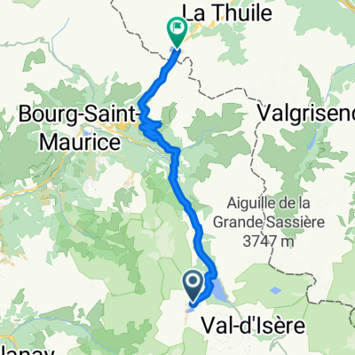 Tignes - Col de Petit st. Bernard
- Distance
- 39.8 km
- Ascent
- 1,121 m
- Descent
- 1,057 m
- Location
- Tignes, Auvergne-Rhône-Alpes, France
 Col de l'Iseran and Mont Cenis
- Distance
- 72 km
- Ascent
- 1,711 m
- Descent
- 1,739 m
- Location
- Tignes, Auvergne-Rhône-Alpes, France
 TDLA etp 5B Tignes - colle di somelier
- Distance
- 148.9 km
- Ascent
- 3,989 m
- Descent
- 3,109 m
- Location
- Tignes, Auvergne-Rhône-Alpes, France
Open it in the app