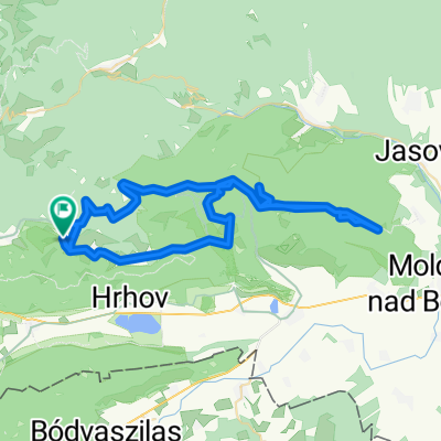
Zakarpatská do Zakarpatská
- 6.3 km
- 158 m
- 162 m
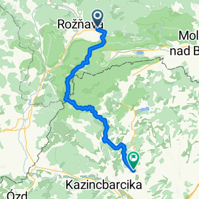
- Rožňava, Košice Region, Slovakia
A cycling route starting in Rožňava, Košice Region, Slovakia.
Overview
test
created this 6 years ago
Route quality
Road
9.9 km
(40 %)
Track
9.1 km
(37 %)
Paved
2.7 km
(11 %)
Unpaved
9.4 km
(38 %)
Ground
6.2 km
(25 %)
Unpaved (undefined)
2.7 km
(11 %)
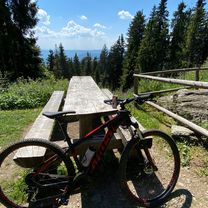
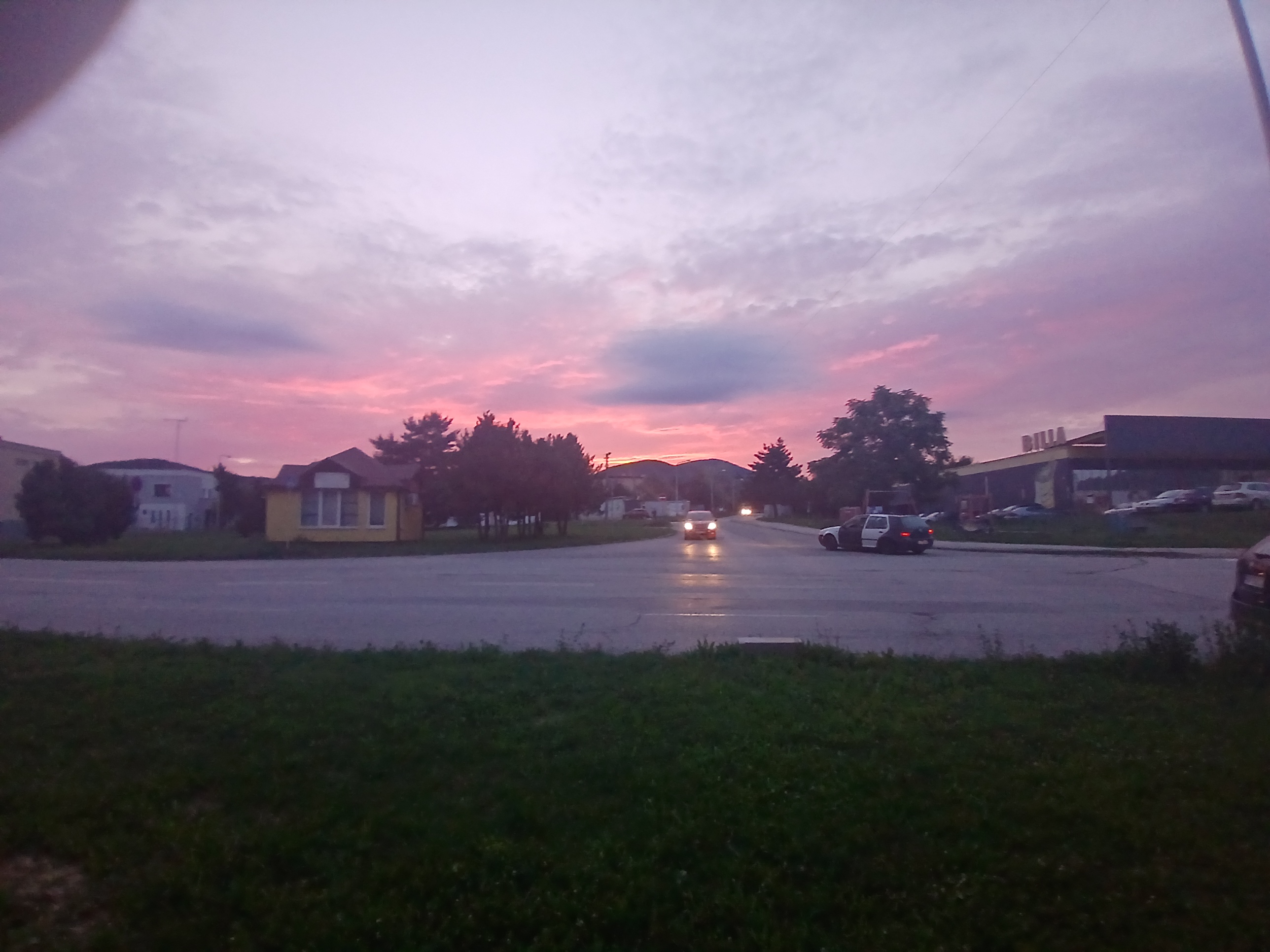
Route highlights

SDôalskdpaslkda
Continue with Bikemap
You would like to ride Test or customize it for your own trip? Here is what you can do with this Bikemap route:
Free trial for 3 days, or one-time payment. More about Bikemap Premium.
Discover more Premium features.
Get Bikemap PremiumFrom our community
Open it in the app