
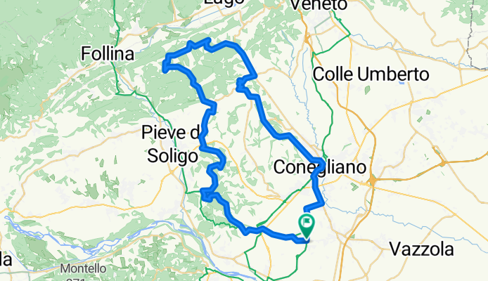
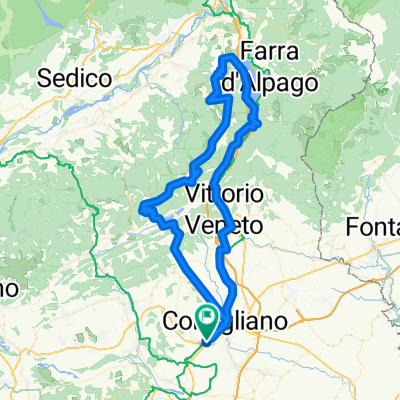
colline di Conegliano
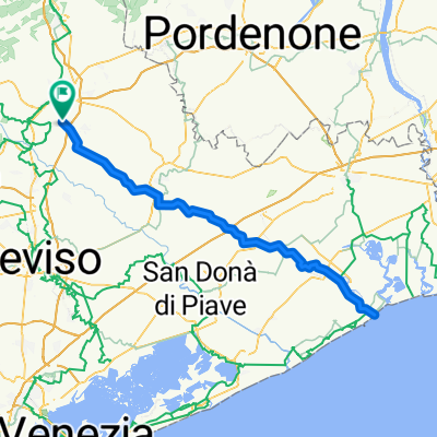
A cycling route starting in Santa Lucia di Piave, Veneto, Italy.
Overview
About this route
circuito da S.Lucia di Piave per Susegana, Collalto, Refrontolo, S.Pietro di Feletto, Conegliano
- -:--
- Duration
- 52.6 km
- Distance
- 689 m
- Ascent
- 689 m
- Descent
- ---
- Avg. speed
- ---
- Max. altitude

Route quality
Waytypes & surfaces along the route
Waytypes
Quiet road
16.1 km
(31 %)
Busy road
13.2 km
(25 %)
Surfaces
Paved
25.3 km
(48 %)
Unpaved
7.1 km
(14 %)
Asphalt
25.3 km
(48 %)
Gravel
4 km
(8 %)
Continue with Bikemap
Use, edit, or download this cycling route
You would like to ride colline di Conegliano or customize it for your own trip? Here is what you can do with this Bikemap route:
Free features
- Save this route as favorite or in collections
- Copy & plan your own version of this route
- Sync your route with Garmin or Wahoo
Premium features
Free trial for 3 days, or one-time payment. More about Bikemap Premium.
- Navigate this route on iOS & Android
- Export a GPX / KML file of this route
- Create your custom printout (try it for free)
- Download this route for offline navigation
Discover more Premium features.
Get Bikemap PremiumFrom our community
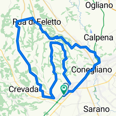
Other popular routes starting in Santa Lucia di Piave
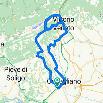
 Conegliano gara
- Distance
- 27.3 km
- Ascent
- 304 m
- Descent
- 304 m
- Location
- Santa Lucia di Piave, Veneto, Italy
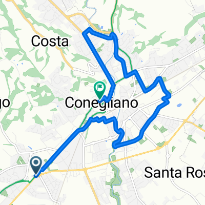
 Da Via Campidui 1b–13, Santa Lucia di Piave a Via Luigi Einaudi 19, Conegliano
- Distance
- 23.3 km
- Ascent
- 12 m
- Descent
- 20 m
- Location
- Santa Lucia di Piave, Veneto, Italy
 Piana
Piana- Distance
- 83.3 km
- Ascent
- 78 m
- Descent
- 78 m
- Location
- Santa Lucia di Piave, Veneto, Italy
 posa+visentin
- Distance
- 98.8 km
- Ascent
- 2,105 m
- Descent
- 2,106 m
- Location
- Santa Lucia di Piave, Veneto, Italy
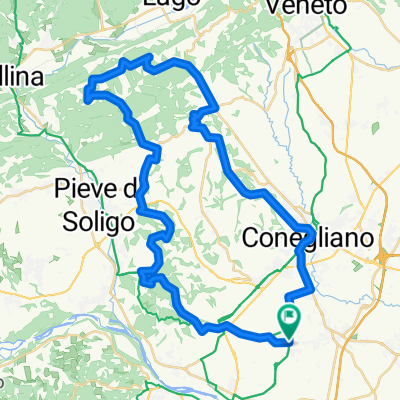 S.Lucia di Piave-Conegliano-S.Pietro F.-Refrontolo-Susegana-S.Lucia
- Distance
- 52.6 km
- Ascent
- 687 m
- Descent
- 687 m
- Location
- Santa Lucia di Piave, Veneto, Italy
 ciclabili conegliano
- Distance
- 8.4 km
- Ascent
- 39 m
- Descent
- 17 m
- Location
- Santa Lucia di Piave, Veneto, Italy
 alleanento tosto
- Distance
- 118.4 km
- Ascent
- 1,657 m
- Descent
- 1,657 m
- Location
- Santa Lucia di Piave, Veneto, Italy
 Caorle Bikemap
- Distance
- 125.6 km
- Ascent
- 45 m
- Descent
- 45 m
- Location
- Santa Lucia di Piave, Veneto, Italy
Open it in the app