

Marridalen- holmenkollen- noklevannen
A cycling route starting in Oslo, Oslo County, Norway.
Overview
About this route
- 6 h 41 min
- Duration
- 62 km
- Distance
- 1,418 m
- Ascent
- 1,411 m
- Descent
- 9.3 km/h
- Avg. speed
- ---
- Max. altitude

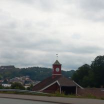
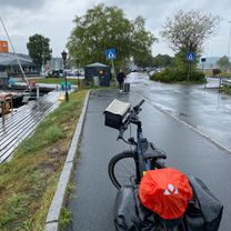
Route photos


Continue with Bikemap
Use, edit, or download this cycling route
You would like to ride Marridalen- holmenkollen- noklevannen or customize it for your own trip? Here is what you can do with this Bikemap route:
Free features
- Save this route as favorite or in collections
- Copy & plan your own version of this route
- Sync your route with Garmin or Wahoo
Premium features
Free trial for 3 days, or one-time payment. More about Bikemap Premium.
- Navigate this route on iOS & Android
- Export a GPX / KML file of this route
- Create your custom printout (try it for free)
- Download this route for offline navigation
Discover more Premium features.
Get Bikemap PremiumFrom our community
Other popular routes starting in Oslo
 Edvard Munchs plass, Oslo a Tullins gate, Oslo
- Distance
- 14.1 km
- Ascent
- 677 m
- Descent
- 706 m
- Location
- Oslo, Oslo County, Norway
 Østfold rundt 2020
- Distance
- 313.1 km
- Ascent
- 2,955 m
- Descent
- 2,950 m
- Location
- Oslo, Oslo County, Norway
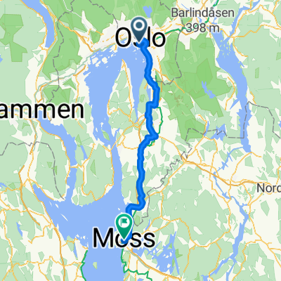 Oslo til Moss
- Distance
- 75.7 km
- Ascent
- 1,025 m
- Descent
- 1,016 m
- Location
- Oslo, Oslo County, Norway
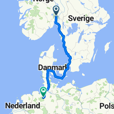 oslo to Bremen
- Distance
- 1,310.3 km
- Ascent
- 4,296 m
- Descent
- 4,282 m
- Location
- Oslo, Oslo County, Norway
 Marridalen- holmenkollen- noklevannen
- Distance
- 62 km
- Ascent
- 1,418 m
- Descent
- 1,411 m
- Location
- Oslo, Oslo County, Norway
 OSL-HAM - Part 1 Color Line Terminal - Rykkinn
- Distance
- 17.4 km
- Ascent
- 347 m
- Descent
- 276 m
- Location
- Oslo, Oslo County, Norway
 smedmyrkoia
- Distance
- 16.5 km
- Ascent
- 512 m
- Descent
- 226 m
- Location
- Oslo, Oslo County, Norway
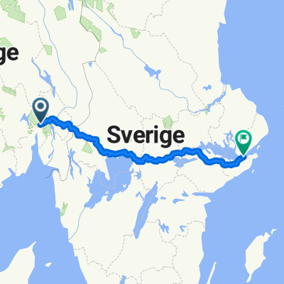 Oslo - Stockhol
- Distance
- 635.5 km
- Ascent
- 6,460 m
- Descent
- 6,455 m
- Location
- Oslo, Oslo County, Norway
Open it in the app