

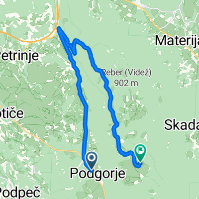
MTBS 81 KM do cilja
A cycling route starting in Kozina, Hrpelje-Kozina, Slovenia.
Overview
About this route
- -:--
- Duration
- 83.1 km
- Distance
- 1,598 m
- Ascent
- 1,599 m
- Descent
- ---
- Avg. speed
- ---
- Max. altitude

Route highlights
Points of interest along the route
Point of interest after 0.9 km
1km
Point of interest after 1.8 km
2 km
Point of interest after 2.8 km
3km
Point of interest after 3.8 km
4km

Accommodation after 4 km
Point of interest after 4.9 km
5km 81 50 2km 29
Point of interest after 10 km
10 km 50 81 7 km 29
Accommodation after 16.8 km
Point of interest after 20.8 km
20 km 50 81 14 km 29
Point of interest after 31 km
30 km
Point of interest after 40.5 km
40 km
Point of interest after 50.5 km
50 km
Accommodation after 54.7 km
Point of interest after 62.7 km
30 km 50 62 km 81
Accommodation after 67.6 km
Accommodation after 80.1 km
Continue with Bikemap
Use, edit, or download this cycling route
You would like to ride MTBS 81 KM do cilja or customize it for your own trip? Here is what you can do with this Bikemap route:
Free features
- Save this route as favorite or in collections
- Copy & plan your own version of this route
- Split it into stages to create a multi-day tour
- Sync your route with Garmin or Wahoo
Premium features
Free trial for 3 days, or one-time payment. More about Bikemap Premium.
- Navigate this route on iOS & Android
- Export a GPX / KML file of this route
- Create your custom printout (try it for free)
- Download this route for offline navigation
Discover more Premium features.
Get Bikemap PremiumFrom our community
Other popular routes starting in Kozina
 Kozina-Socerb-Glinscica
- Distance
- 31.5 km
- Ascent
- 512 m
- Descent
- 512 m
- Location
- Kozina, Hrpelje-Kozina, Slovenia
 MTB Slavnik Night climb, bike
- Distance
- 15.6 km
- Ascent
- 598 m
- Descent
- 91 m
- Location
- Kozina, Hrpelje-Kozina, Slovenia
 Hrpelje-Fiume giorno 2
- Distance
- 80.7 km
- Ascent
- 1,526 m
- Descent
- 1,526 m
- Location
- Kozina, Hrpelje-Kozina, Slovenia
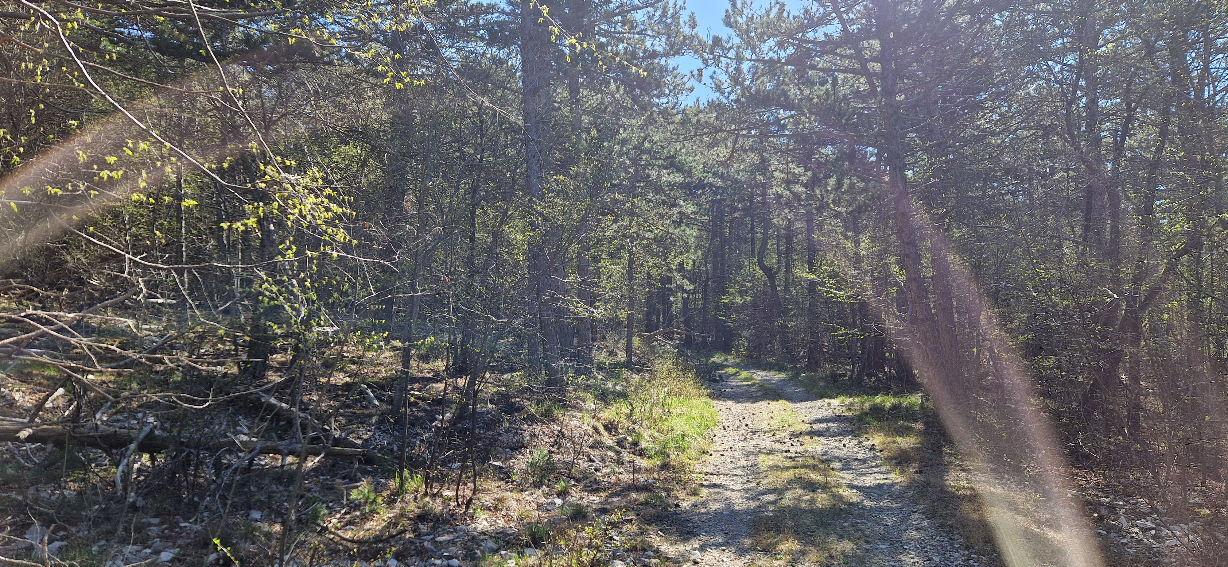
 TABLE DOLGA
- Distance
- 104.6 km
- Ascent
- 1,401 m
- Descent
- 1,369 m
- Location
- Kozina, Hrpelje-Kozina, Slovenia
 MTBS 81 KM do cilja
- Distance
- 83.1 km
- Ascent
- 1,598 m
- Descent
- 1,599 m
- Location
- Kozina, Hrpelje-Kozina, Slovenia
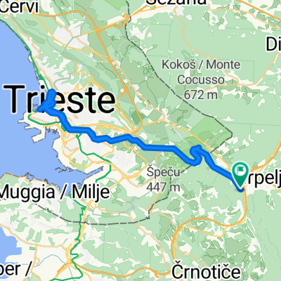 Kozina - Dolina Glinščice -Trst - Kozina
- Distance
- 41 km
- Ascent
- 878 m
- Descent
- 880 m
- Location
- Kozina, Hrpelje-Kozina, Slovenia
 slavnik
- Distance
- 27.2 km
- Ascent
- 661 m
- Descent
- 677 m
- Location
- Kozina, Hrpelje-Kozina, Slovenia
Open it in the app