

Overview
About this route
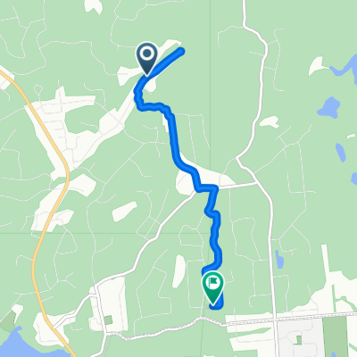
This short route should be the first route of the week for every road-riding group. You can use it to assess group pace and behaviour on the road.
- -:--
- Duration
- 1.2 km
- Distance
- 0 m
- Ascent
- 0 m
- Descent
- ---
- Avg. speed
- ---
- Max. altitude

Part of
Pedalheads
5 stages
Route quality
Waytypes & surfaces along the route
Waytypes
Quiet road
1.2 km
(98 %)
Access road
0 km
(2 %)
Surfaces
Paved
1.2 km
(100 %)
Asphalt
1.2 km
(100 %)
Continue with Bikemap
Use, edit, or download this cycling route
You would like to ride 4, 5, 6 - Beginner Route or customize it for your own trip? Here is what you can do with this Bikemap route:
Free features
- Save this route as favorite or in collections
- Copy & plan your own version of this route
- Sync your route with Garmin or Wahoo
Premium features
Free trial for 3 days, or one-time payment. More about Bikemap Premium.
- Navigate this route on iOS & Android
- Export a GPX / KML file of this route
- Create your custom printout (try it for free)
- Download this route for offline navigation
Discover more Premium features.
Get Bikemap PremiumFrom our community
Other popular routes starting in Gatineau
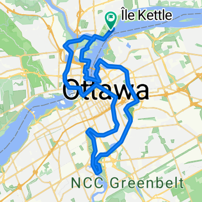 On the shores of The Capital
- Distance
- 43 km
- Ascent
- 240 m
- Descent
- 240 m
- Location
- Gatineau, Quebec, Canada
 Montée Paiement 434, Gatineau to Rue Lafrance 580, Gatineau
- Distance
- 2.7 km
- Ascent
- 74 m
- Descent
- 18 m
- Location
- Gatineau, Quebec, Canada
 Rue Lafrance 580, Gatineau to Rue Lafrance 580, Gatineau
- Distance
- 36.6 km
- Ascent
- 222 m
- Descent
- 191 m
- Location
- Gatineau, Quebec, Canada
 Rue Lafrance 580, Gatineau to Rue Lafrance 580, Gatineau
- Distance
- 32.5 km
- Ascent
- 83 m
- Descent
- 88 m
- Location
- Gatineau, Quebec, Canada
 Lac Leamy-Aylmer
- Distance
- 47.1 km
- Ascent
- 213 m
- Descent
- 215 m
- Location
- Gatineau, Quebec, Canada
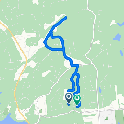
 4, 5, 6 — Beginner Trail Ride
- Distance
- 4.2 km
- Ascent
- 12 m
- Descent
- 9 m
- Location
- Gatineau, Quebec, Canada
 Rose des Vents via Bouchette
- Distance
- 8.8 km
- Ascent
- 77 m
- Descent
- 79 m
- Location
- Gatineau, Quebec, Canada
 Rose des Vents via trail
- Distance
- 5.1 km
- Ascent
- 31 m
- Descent
- 52 m
- Location
- Gatineau, Quebec, Canada
Open it in the app