

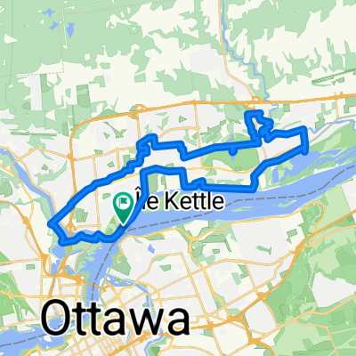
4, 5, 6 — Beginner Trail Ride
A cycling route starting in Gatineau, Quebec, Canada.
Overview
About this route
Suitable for Levels 4 and up. This is essentially the Reine-Des-Bois route, with the addition of a small trail past the soccer fields.
- -:--
- Duration
- 4.2 km
- Distance
- 12 m
- Ascent
- 9 m
- Descent
- ---
- Avg. speed
- ---
- Max. altitude

Route quality
Waytypes & surfaces along the route
Waytypes
Quiet road
2.1 km
(50 %)
Path
0.9 km
(22 %)
Surfaces
Paved
3.4 km
(81 %)
Unpaved
0.6 km
(13 %)
Asphalt
3.4 km
(81 %)
Loose gravel
0.3 km
(7 %)
Route highlights
Points of interest along the route
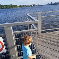
Point of interest after 1.9 km
Be careful here - the turn onto the trail is sharp with gravel, so it is easy for kids to fall if they are not going slowly.
Continue with Bikemap
Use, edit, or download this cycling route
You would like to ride 4, 5, 6 — Beginner Trail Ride or customize it for your own trip? Here is what you can do with this Bikemap route:
Free features
- Save this route as favorite or in collections
- Copy & plan your own version of this route
- Sync your route with Garmin or Wahoo
Premium features
Free trial for 3 days, or one-time payment. More about Bikemap Premium.
- Navigate this route on iOS & Android
- Export a GPX / KML file of this route
- Create your custom printout (try it for free)
- Download this route for offline navigation
Discover more Premium features.
Get Bikemap PremiumFrom our community
Other popular routes starting in Gatineau
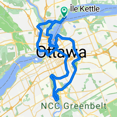
 In search of Covered Bridges Ottawa
- Distance
- 39.6 km
- Ascent
- 119 m
- Descent
- 120 m
- Location
- Gatineau, Quebec, Canada
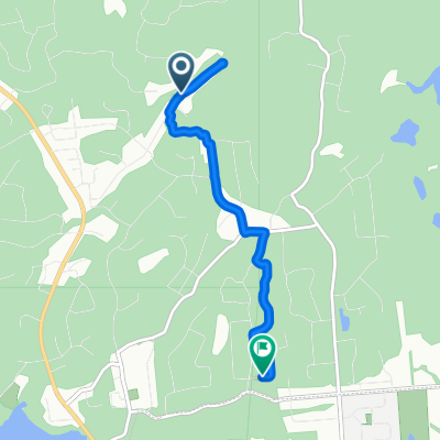
 Montée Paiement 434, Gatineau to Rue Lafrance 580, Gatineau
- Distance
- 2.7 km
- Ascent
- 74 m
- Descent
- 18 m
- Location
- Gatineau, Quebec, Canada
 On the shores of The Capital
- Distance
- 43 km
- Ascent
- 240 m
- Descent
- 240 m
- Location
- Gatineau, Quebec, Canada
 MecRouteBM
- Distance
- 51 km
- Ascent
- 229 m
- Descent
- 229 m
- Location
- Gatineau, Quebec, Canada
 Gat-Edelw-Wkfld
- Distance
- 56.5 km
- Ascent
- 350 m
- Descent
- 350 m
- Location
- Gatineau, Quebec, Canada
 Rose des Vents via trail
- Distance
- 5.1 km
- Ascent
- 31 m
- Descent
- 52 m
- Location
- Gatineau, Quebec, Canada
 Rue Lafrance 580, Gatineau to Rue Lafrance 580, Gatineau
- Distance
- 36.6 km
- Ascent
- 222 m
- Descent
- 191 m
- Location
- Gatineau, Quebec, Canada
 Lac Leamy-Aylmer
- Distance
- 47.1 km
- Ascent
- 213 m
- Descent
- 215 m
- Location
- Gatineau, Quebec, Canada
Open it in the app