

6* — Advanced Trail
A cycling route starting in Gatineau, Quebec, Canada.
Overview
About this route
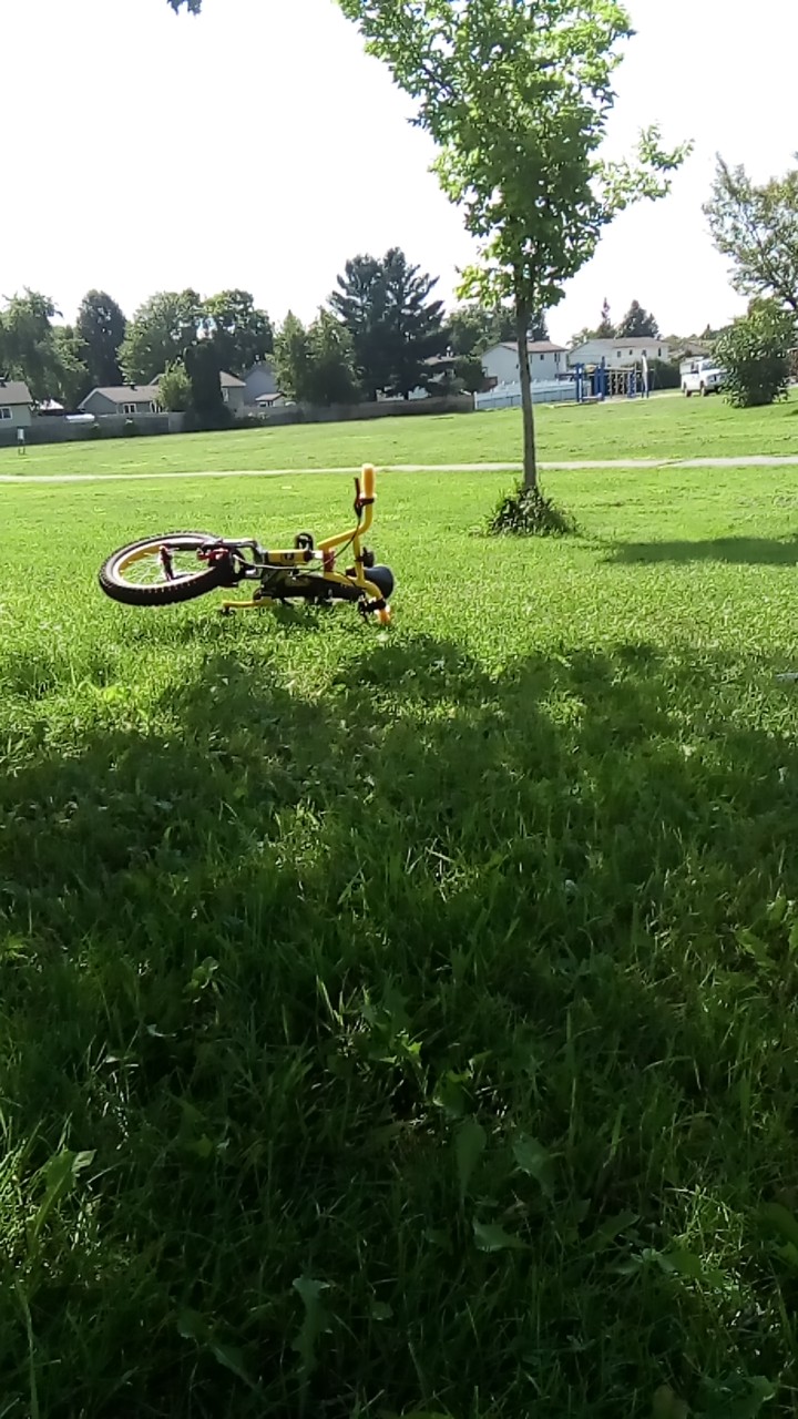
Suitable for Levels 6 and up. NOTE: You MUST have ridden this route and be VERY familiar with it before taking the kids on it, as the forest has several trails in it. This is suitable for advanced riders, and contains steep hills, bumpy trails, etc. It passes through Kinsella Park for a break/debrief, and you can visit the Queenswood Heights Community Centre splash pad on the way back.
- -:--
- Duration
- 6.7 km
- Distance
- 11 m
- Ascent
- 10 m
- Descent
- ---
- Avg. speed
- ---
- Max. altitude
Route quality
Waytypes & surfaces along the route
Waytypes
Path
2.4 km
(36 %)
Road
1.7 km
(25 %)
Surfaces
Paved
4.8 km
(72 %)
Unpaved
1.3 km
(20 %)
Asphalt
4.7 km
(70 %)
Ground
0.8 km
(12 %)
Continue with Bikemap
Use, edit, or download this cycling route
You would like to ride 6* — Advanced Trail or customize it for your own trip? Here is what you can do with this Bikemap route:
Free features
- Save this route as favorite or in collections
- Copy & plan your own version of this route
- Sync your route with Garmin or Wahoo
Premium features
Free trial for 3 days, or one-time payment. More about Bikemap Premium.
- Navigate this route on iOS & Android
- Export a GPX / KML file of this route
- Create your custom printout (try it for free)
- Download this route for offline navigation
Discover more Premium features.
Get Bikemap PremiumFrom our community
Other popular routes starting in Gatineau
 route pour demain
- Distance
- 58.5 km
- Ascent
- 97 m
- Descent
- 97 m
- Location
- Gatineau, Quebec, Canada
 5*, 6 - Princess Louise Falls
- Distance
- 3.8 km
- Ascent
- 8 m
- Descent
- 12 m
- Location
- Gatineau, Quebec, Canada
 6* — Advanced Trail
- Distance
- 6.7 km
- Ascent
- 11 m
- Descent
- 10 m
- Location
- Gatineau, Quebec, Canada
 blackburn convent glen loop
- Distance
- 19.8 km
- Ascent
- 41 m
- Descent
- 43 m
- Location
- Gatineau, Quebec, Canada
 easy evening ride along the water
- Distance
- 16.6 km
- Ascent
- 96 m
- Descent
- 96 m
- Location
- Gatineau, Quebec, Canada
 Rockliff Parkway
- Distance
- 22.4 km
- Ascent
- 357 m
- Descent
- 356 m
- Location
- Gatineau, Quebec, Canada
 Gat-Edelw-Wkfld
- Distance
- 56.5 km
- Ascent
- 350 m
- Descent
- 350 m
- Location
- Gatineau, Quebec, Canada
 Lac Leamy-Aylmer
- Distance
- 47.1 km
- Ascent
- 213 m
- Descent
- 215 m
- Location
- Gatineau, Quebec, Canada
Open it in the app