

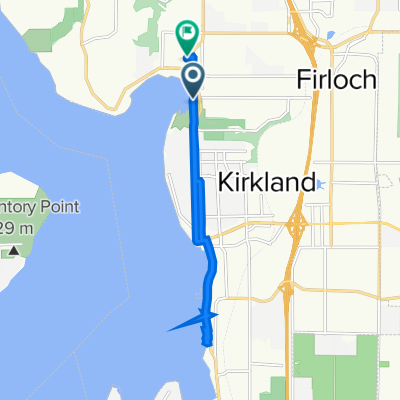
Loop - Kirkland, north via Finn Hill, UW, 520
A cycling route starting in Kirkland, Washington, United States.
Overview
About this route
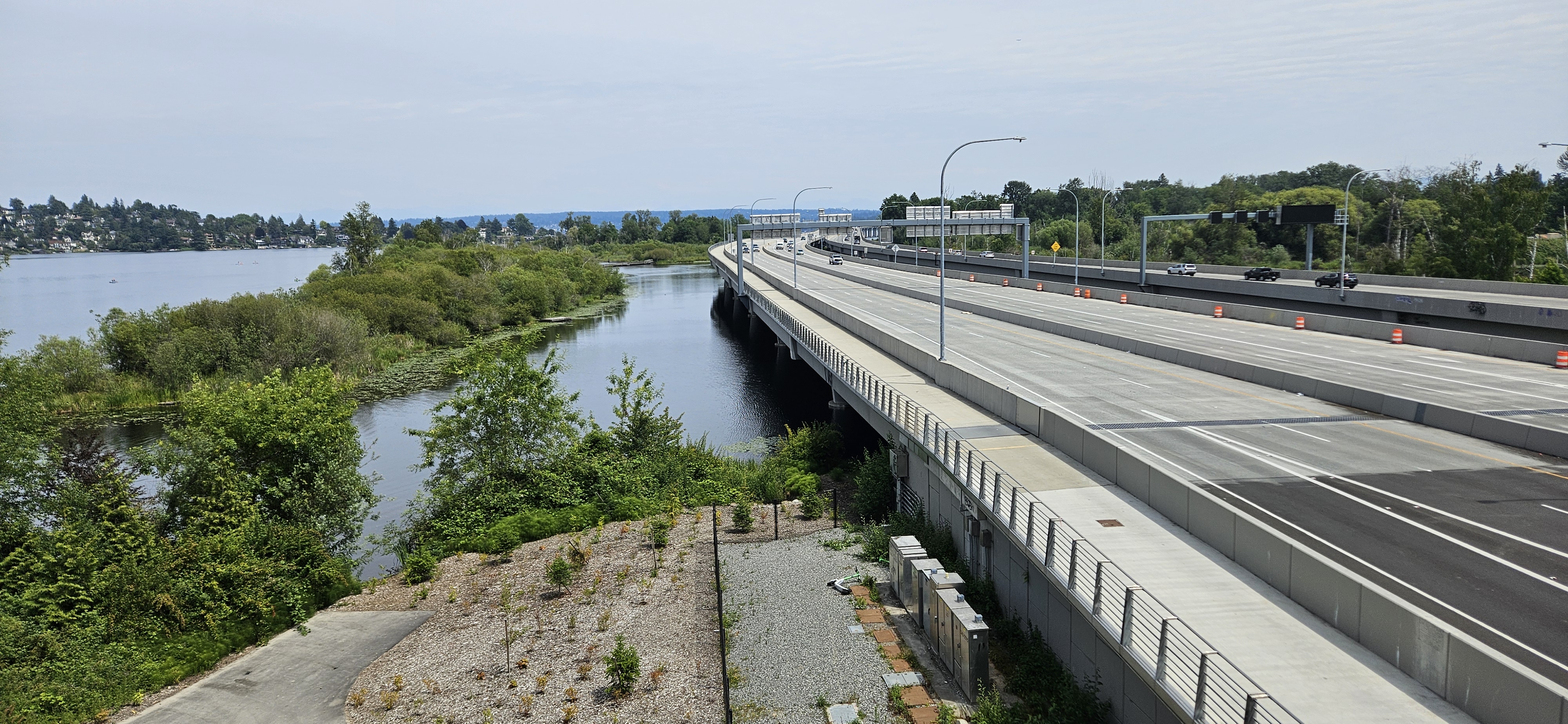
Downtown Kirkland - Finn Hill - Lake Forest Park - UW - 520 Bridge - Downtown Kirkand
- -:--
- Duration
- 43.6 km
- Distance
- 322 m
- Ascent
- 300 m
- Descent
- ---
- Avg. speed
- ---
- Max. altitude

Route quality
Waytypes & surfaces along the route
Waytypes
Cycleway
20 km
(46 %)
Busy road
13.2 km
(30 %)
Surfaces
Paved
35.8 km
(82 %)
Unpaved
0 km
(<1 %)
Asphalt
26.6 km
(61 %)
Concrete
5 km
(11 %)
Continue with Bikemap
Use, edit, or download this cycling route
You would like to ride Loop - Kirkland, north via Finn Hill, UW, 520 or customize it for your own trip? Here is what you can do with this Bikemap route:
Free features
- Save this route as favorite or in collections
- Copy & plan your own version of this route
- Sync your route with Garmin or Wahoo
Premium features
Free trial for 3 days, or one-time payment. More about Bikemap Premium.
- Navigate this route on iOS & Android
- Export a GPX / KML file of this route
- Create your custom printout (try it for free)
- Download this route for offline navigation
Discover more Premium features.
Get Bikemap PremiumFrom our community
Other popular routes starting in Kirkland
 12504–12598 NE 80th Pl, Kirkland to 555 110th Ave NE, Bellevue
- Distance
- 9.2 km
- Ascent
- 89 m
- Descent
- 166 m
- Location
- Kirkland, Washington, United States
 520 West, return
- Distance
- 35.7 km
- Ascent
- 267 m
- Descent
- 237 m
- Location
- Kirkland, Washington, United States
 Kirkland - Hills
- Distance
- 156.2 km
- Ascent
- 1,161 m
- Descent
- 1,161 m
- Location
- Kirkland, Washington, United States
 bothell loop
- Distance
- 45.3 km
- Ascent
- 335 m
- Descent
- 334 m
- Location
- Kirkland, Washington, United States
 25 miler
- Distance
- 39.9 km
- Ascent
- 413 m
- Descent
- 419 m
- Location
- Kirkland, Washington, United States
 South Juanita, Kirkland to 9730 NE 119th Way, Kirkland
- Distance
- 10.7 km
- Ascent
- 140 m
- Descent
- 130 m
- Location
- Kirkland, Washington, United States
 Lake Side and Around Bridle Trail
- Distance
- 15.8 km
- Ascent
- 217 m
- Descent
- 218 m
- Location
- Kirkland, Washington, United States
 10300–10358 134th Ave NE, Redmond to 5150 Russell Ave NW, Seattle
- Distance
- 24.7 km
- Ascent
- 260 m
- Descent
- 352 m
- Location
- Kirkland, Washington, United States
Open it in the app