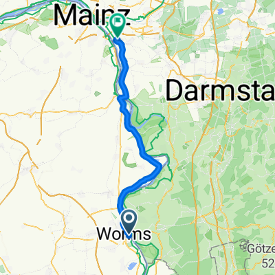
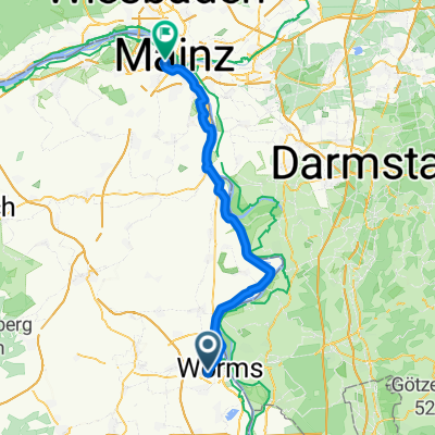
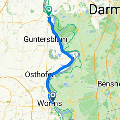
worms - bregenz (neckar-hohenzollern-bodensee)
A cycling route starting in Worms, Rhineland-Palatinate, Germany.
Overview
About this route
8 Etappen
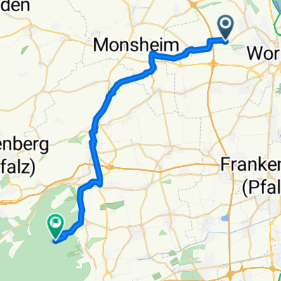
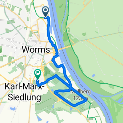
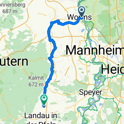
Worms-Mannheim-Eberbach-Besigheim-Nürtingen-Balingen-Tuttlingen-Immenstaad-Bregenz
- -:--
- Duration
- 518.3 km
- Distance
- 2,836 m
- Ascent
- 2,536 m
- Descent
- ---
- Avg. speed
- 994 m
- Max. altitude
Route photos
Route quality
Waytypes & surfaces along the route
Waytypes
Quiet road
140.3 km
(27 %)
Track
106.5 km
(21 %)
Surfaces
Paved
447.4 km
(86 %)
Unpaved
29.8 km
(6 %)
Asphalt
418.6 km
(81 %)
Gravel
16.3 km
(3 %)
Continue with Bikemap
Use, edit, or download this cycling route
You would like to ride worms - bregenz (neckar-hohenzollern-bodensee) or customize it for your own trip? Here is what you can do with this Bikemap route:
Free features
- Save this route as favorite or in collections
- Copy & plan your own version of this route
- Split it into stages to create a multi-day tour
- Sync your route with Garmin or Wahoo
Premium features
Free trial for 3 days, or one-time payment. More about Bikemap Premium.
- Navigate this route on iOS & Android
- Export a GPX / KML file of this route
- Create your custom printout (try it for free)
- Download this route for offline navigation
Discover more Premium features.
Get Bikemap PremiumFrom our community
Other popular routes starting in Worms
- Rheinhessisches Hügelland bis Hillesheim
- Distance
- 50.6 km
- Ascent
- 220 m
- Descent
- 221 m
- Location
- Worms, Rhineland-Palatinate, Germany
- Dom-zu-Dom_WO-SP-WO
- Distance
- 92.8 km
- Ascent
- 78 m
- Descent
- 77 m
- Location
- Worms, Rhineland-Palatinate, Germany
- Hofheimer Straße, Lampertheim nach Hofheimer Straße, Lampertheim
- Distance
- 42 km
- Ascent
- 51 m
- Descent
- 49 m
- Location
- Worms, Rhineland-Palatinate, Germany
- Monsheimer Straße 22, Worms nach Otto-von-Guericke-Ring 7, Wiesbaden
- Distance
- 74.9 km
- Ascent
- 159 m
- Descent
- 193 m
- Location
- Worms, Rhineland-Palatinate, Germany
- Wörthstraße 13, Worms nach L 455, Freinsheim
- Distance
- 23.9 km
- Ascent
- 154 m
- Descent
- 119 m
- Location
- Worms, Rhineland-Palatinate, Germany
- Lindemannsruh
- Distance
- 88.9 km
- Ascent
- 515 m
- Descent
- 517 m
- Location
- Worms, Rhineland-Palatinate, Germany
- 1. Worms - Hoherodskopf
- Distance
- 153 km
- Ascent
- 762 m
- Descent
- 150 m
- Location
- Worms, Rhineland-Palatinate, Germany
- WO-Bürstadt-Karlstern-A6-WO
- Distance
- 46.7 km
- Ascent
- 74 m
- Descent
- 72 m
- Location
- Worms, Rhineland-Palatinate, Germany
Open it in the app