Testrunde
- 0.6 km
- 0 m
- 4 m
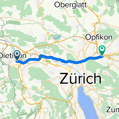
- Dietikon / Guggenbühl, Canton of Zurich, Switzerland
A cycling route starting in Dietikon / Guggenbühl, Canton of Zurich, Switzerland.
Overview
From Dietikon over Bergdietikon to Widen, Berikon, Aesch and Arni to Oberlunkhofen. Further on to Jonen, along Ottenbach to Dachlissen. Passing the highway, left at Dachlissen back to Affoltern and then Aeugst and around Lake Türler via Aumüli to Stallikon. Follow the main road and left to Landikon and right at Birmensdorf. Over the Reppisch river, left and again left and left around the barracks. Follow the Reppischtal road to Baltenschwil and back to Dietikon.
created this 6 years ago
Route quality
Road
27.6 km
(44 %)
Quiet road
15.1 km
(24 %)
Paved
54.6 km
(87 %)
Unpaved
0.6 km
(1 %)
Asphalt
50.2 km
(80 %)
Paved (undefined)
4.4 km
(7 %)
Continue with Bikemap
You would like to ride CH-Dietikon - Türlersee 64km 1000hm or customize it for your own trip? Here is what you can do with this Bikemap route:
Free trial for 3 days, or one-time payment. More about Bikemap Premium.
Discover more Premium features.
Get Bikemap PremiumFrom our community
Open it in the app