
innradweg_etappe_4_72477970
- 44.9 km
- 0 m
- 51 m
- Innsbruck, Tyrol, Austria
A cycling route starting in Innsbruck, Tyrol, Austria.
Overview
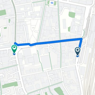
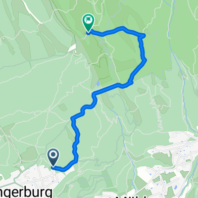
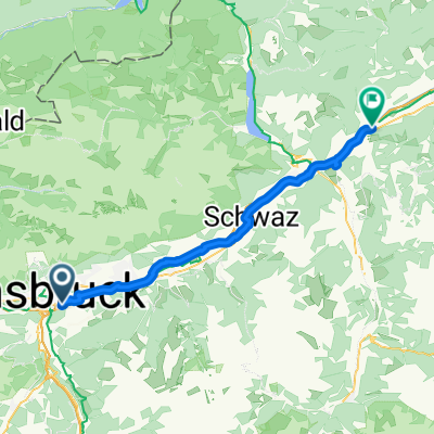
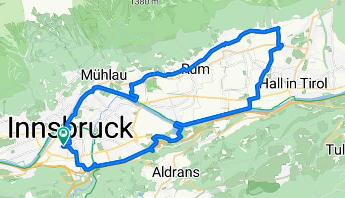
The loop starts at home at Schöpfstraße 27 and ends there. It runs along the south side of Innsbruck eastward toward Hall and from there north to Absam, where you can make a pilgrimage stop. From the pilgrimage church in Absam it climbs steeply north to the Andreas Hofer barracks and from there west up to Thaur to the castle church of St. Romedius. Continue west on the Adolf-Pichlerweg to the Rechenhof. From there down past the Mühlau waterworks to the Alpenzoo. From there along Weiherburggasse down into town to the Inn. Follow the cycle path along the Inn to the Universitätsbrücke; from there, south of the Inn on the Franz-Gschnitzer-Promenade for about 500 m, until you turn left to Innrain and Schöpfstraße.
created this 6 years ago


Route quality
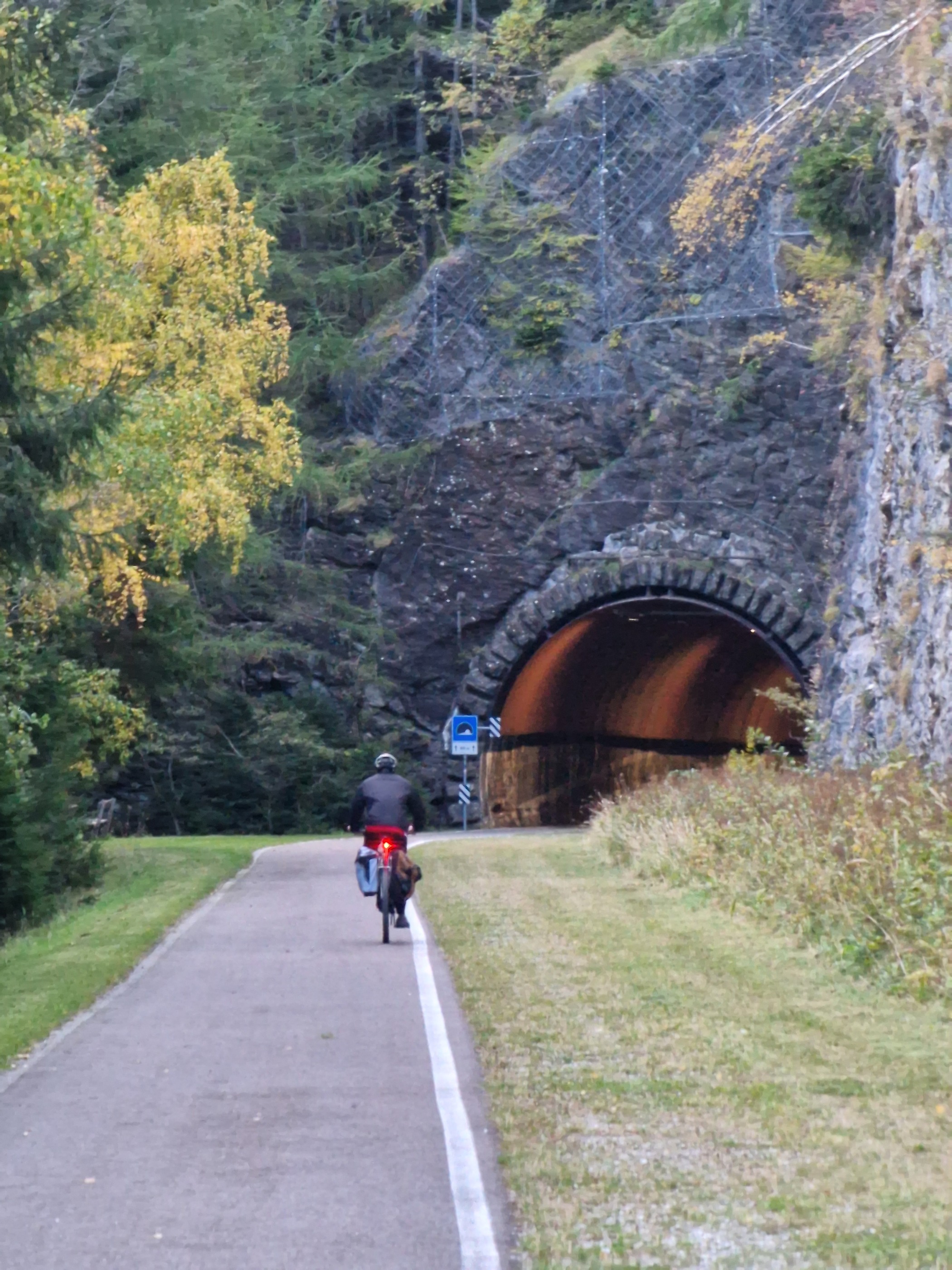
Quiet road
7.5 km
(28 %)
Cycleway
3.2 km
(12 %)
Paved
7.2 km
(27 %)
Unpaved
0.8 km
(3 %)
Asphalt
7.2 km
(27 %)
Gravel
0.8 km
(3 %)
Undefined
18.6 km
(70 %)
Continue with Bikemap
You would like to ride Absamer Wallfahrtsrunde NEU or customize it for your own trip? Here is what you can do with this Bikemap route:
Free trial for 3 days, or one-time payment. More about Bikemap Premium.
Discover more Premium features.
Get Bikemap PremiumFrom our community
Open it in the app