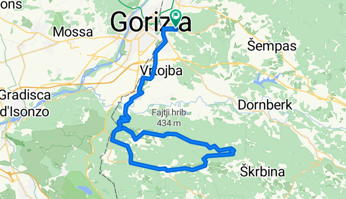
Rožna - TRSTELJ - Rožna mtb
A cycling route starting in Rožna Dolina, Občina Šempeter-Vrtojba, Slovenia.
Overview
About this route
- -:--
- Duration
- 51.2 km
- Distance
- 672 m
- Ascent
- 672 m
- Descent
- ---
- Avg. speed
- ---
- Max. altitude
Route quality
Waytypes & surfaces along the route
Waytypes
Quiet road
13.8 km
(27 %)
Cycleway
8.7 km
(17 %)
Surfaces
Paved
39.4 km
(77 %)
Unpaved
10.7 km
(21 %)
Asphalt
39.4 km
(77 %)
Gravel
8.2 km
(16 %)
Continue with Bikemap
Use, edit, or download this cycling route
You would like to ride Rožna - TRSTELJ - Rožna mtb or customize it for your own trip? Here is what you can do with this Bikemap route:
Free features
- Save this route as favorite or in collections
- Copy & plan your own version of this route
- Sync your route with Garmin or Wahoo
Premium features
Free trial for 3 days, or one-time payment. More about Bikemap Premium.
- Navigate this route on iOS & Android
- Export a GPX / KML file of this route
- Create your custom printout (try it for free)
- Download this route for offline navigation
Discover more Premium features.
Get Bikemap PremiumFrom our community
Other popular routes starting in Rožna Dolina
Ajševica 13 do Dobravlje- Distance
- 42.4 km
- Ascent
- 699 m
- Descent
- 426 m
- Location
- Rožna Dolina, Občina Šempeter-Vrtojba, Slovenia
Rožna - Most na Soči - Rožna- Distance
- 78.2 km
- Ascent
- 461 m
- Descent
- 450 m
- Location
- Rožna Dolina, Občina Šempeter-Vrtojba, Slovenia
Kožbana- Distance
- 62.5 km
- Ascent
- 645 m
- Descent
- 650 m
- Location
- Rožna Dolina, Občina Šempeter-Vrtojba, Slovenia
Rožna - TRSTELJ - Rožna mtb- Distance
- 51.2 km
- Ascent
- 672 m
- Descent
- 672 m
- Location
- Rožna Dolina, Občina Šempeter-Vrtojba, Slovenia
Rožna - Dornberk - Temnica - Rožna- Distance
- 38.4 km
- Ascent
- 616 m
- Descent
- 631 m
- Location
- Rožna Dolina, Občina Šempeter-Vrtojba, Slovenia
Rožna - Koper (čez kras)- Distance
- 96.7 km
- Ascent
- 673 m
- Descent
- 762 m
- Location
- Rožna Dolina, Občina Šempeter-Vrtojba, Slovenia
Etap 7A, Nova Gorica - Sezana- Distance
- 70.3 km
- Ascent
- 1,111 m
- Descent
- 824 m
- Location
- Rožna Dolina, Občina Šempeter-Vrtojba, Slovenia
GO - VODICE - KANAL - GO- Distance
- 53.3 km
- Ascent
- 767 m
- Descent
- 777 m
- Location
- Rožna Dolina, Občina Šempeter-Vrtojba, Slovenia
Open it in the app


