

#6.1 Rzeszow - Dynow (Tyczyn, Blazowa, Domaradz)
A cycling route starting in Rzeszów, Subcarpathian Voivodeship, Poland.
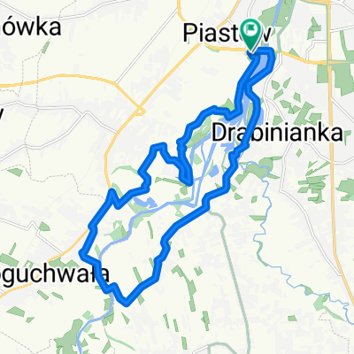
Overview
About this route
Trasza szosowa przez Błażową do Dynowa. Lekki posiłek na rynku, trasa wzdłóż Sanu, prom przez rzekę. Powrót przez Domaradz i Lubenię. Tempo średnie bez wyczynów.
- -:--
- Duration
- 123.3 km
- Distance
- 369 m
- Ascent
- 367 m
- Descent
- ---
- Avg. speed
- ---
- Max. altitude

Route quality
Waytypes & surfaces along the route
Waytypes
Road
69.1 km
(56 %)
Quiet road
12.3 km
(10 %)
Surfaces
Paved
111 km
(90 %)
Asphalt
111 km
(90 %)
Undefined
12.3 km
(10 %)
Route highlights
Points of interest along the route
\"")
Photo after 39.4 km
Centrum Dynowa
Continue with Bikemap
Use, edit, or download this cycling route
You would like to ride #6.1 Rzeszow - Dynow (Tyczyn, Blazowa, Domaradz) or customize it for your own trip? Here is what you can do with this Bikemap route:
Free features
- Save this route as favorite or in collections
- Copy & plan your own version of this route
- Split it into stages to create a multi-day tour
- Sync your route with Garmin or Wahoo
Premium features
Free trial for 3 days, or one-time payment. More about Bikemap Premium.
- Navigate this route on iOS & Android
- Export a GPX / KML file of this route
- Create your custom printout (try it for free)
- Download this route for offline navigation
Discover more Premium features.
Get Bikemap PremiumFrom our community
Other popular routes starting in Rzeszów
 Rzeszów, Terliczka, Czarna, Łańcut, Kraczkowa, Malawa, Rzeszów
- Distance
- 43 km
- Ascent
- 119 m
- Descent
- 122 m
- Location
- Rzeszów, Subcarpathian Voivodeship, Poland
 Rzeszów - Dynów po górkach
- Distance
- 94 km
- Ascent
- 857 m
- Descent
- 846 m
- Location
- Rzeszów, Subcarpathian Voivodeship, Poland
 Objazd Wisłoka nocom, gdzie żabole rechocom
- Distance
- 15.7 km
- Ascent
- 44 m
- Descent
- 41 m
- Location
- Rzeszów, Subcarpathian Voivodeship, Poland
 Rzeszów Skandia Maraton Lang Team 2010 Mini
- Distance
- 31.1 km
- Ascent
- 477 m
- Descent
- 480 m
- Location
- Rzeszów, Subcarpathian Voivodeship, Poland
 Trasa na niedzielę
- Distance
- 48.8 km
- Ascent
- 155 m
- Descent
- 156 m
- Location
- Rzeszów, Subcarpathian Voivodeship, Poland
 Trasa 2
- Distance
- 14.9 km
- Ascent
- 14 m
- Descent
- 13 m
- Location
- Rzeszów, Subcarpathian Voivodeship, Poland
 Wisząca kładka
- Distance
- 17.6 km
- Ascent
- 114 m
- Descent
- 122 m
- Location
- Rzeszów, Subcarpathian Voivodeship, Poland
 Rzeszów - Przylasek - Sołonka - Babica - Krzyż Milenijny - Rzeszów
- Distance
- 64.5 km
- Ascent
- 598 m
- Descent
- 598 m
- Location
- Rzeszów, Subcarpathian Voivodeship, Poland
Open it in the app