De Avenue Georges Coupois à Avenue Georges Coupois
- 48.4 km
- 793 m
- 791 m
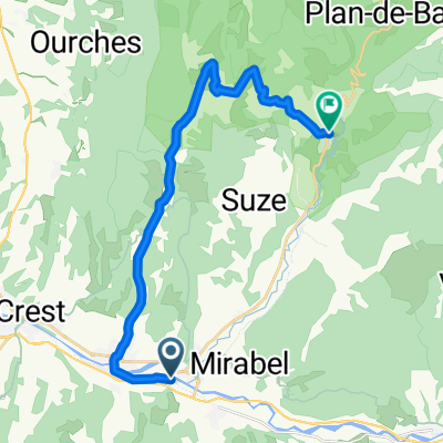
- Aouste-sur-Sye, Auvergne-Rhône-Alpes, France
A cycling route starting in Aouste-sur-Sye, Auvergne-Rhône-Alpes, France.
Overview
from camping Gervanne in Mirabel et Blacons to the Col de Jerome Cavalli.
Route quality
Road
26.5 km
(67 %)
Track
0.4 km
(1 %)
Paved
19.8 km
(50 %)
Asphalt
19.8 km
(50 %)
Undefined
19.8 km
(50 %)
Continue with Bikemap
You would like to ride 21-5-2019 (di ) Rondje in de Franse Vercors or customize it for your own trip? Here is what you can do with this Bikemap route:
Free trial for 3 days, or one-time payment. More about Bikemap Premium.
Discover more Premium features.
Get Bikemap PremiumFrom our community
Open it in the app