

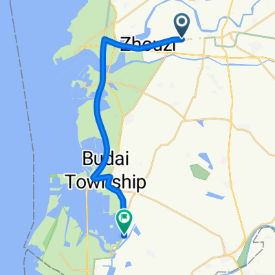
嘉義高鐵站 - 阿里山
A cycling route starting in Taibao, Taiwan, Taiwan.
Overview
About this route
- -:--
- Duration
- 87.1 km
- Distance
- 2,428 m
- Ascent
- 241 m
- Descent
- ---
- Avg. speed
- ---
- Max. altitude
Continue with Bikemap
Use, edit, or download this cycling route
You would like to ride 嘉義高鐵站 - 阿里山 or customize it for your own trip? Here is what you can do with this Bikemap route:
Free features
- Save this route as favorite or in collections
- Copy & plan your own version of this route
- Split it into stages to create a multi-day tour
- Sync your route with Garmin or Wahoo
Premium features
Free trial for 3 days, or one-time payment. More about Bikemap Premium.
- Navigate this route on iOS & Android
- Export a GPX / KML file of this route
- Create your custom printout (try it for free)
- Download this route for offline navigation
Discover more Premium features.
Get Bikemap PremiumFrom our community
Other popular routes starting in Taibao
 Taibao - Taibao
- Distance
- 9.8 km
- Ascent
- 4 m
- Descent
- 10 m
- Location
- Taibao, Taiwan, Taiwan
 Taibao - Taibao
- Distance
- 3 km
- Ascent
- 3 m
- Descent
- 3 m
- Location
- Taibao, Taiwan, Taiwan
 20171027_東石港-花園夜市
- Distance
- 60.1 km
- Ascent
- 88 m
- Descent
- 78 m
- Location
- Taibao, Taiwan, Taiwan
 Taibao - Xinying District
- Distance
- 20 km
- Ascent
- 24 m
- Descent
- 28 m
- Location
- Taibao, Taiwan, Taiwan
 北港到南科
北港到南科- Distance
- 68.3 km
- Ascent
- 44 m
- Descent
- 51 m
- Location
- Taibao, Taiwan, Taiwan
 青春作伴好還鄉5_北港台南_A
- Distance
- 89.9 km
- Ascent
- 37 m
- Descent
- 40 m
- Location
- Taibao, Taiwan, Taiwan
 和興5.16兩鐵一日遊
- Distance
- 91.4 km
- Ascent
- 425 m
- Descent
- 402 m
- Location
- Taibao, Taiwan, Taiwan
 嘉義高鐵站 - 阿里山
- Distance
- 87.1 km
- Ascent
- 2,428 m
- Descent
- 241 m
- Location
- Taibao, Taiwan, Taiwan
Open it in the app