


Mit Knochen / schönbuchturn
- 66.5 km
- 903 m
- 903 m
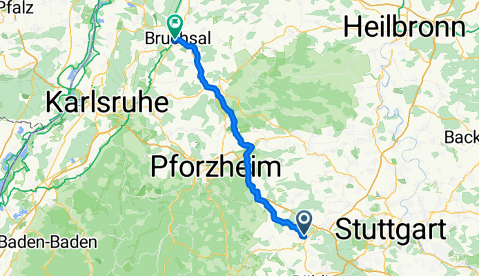
- Renningen, Baden-Wurttemberg, Germany
A cycling route starting in Renningen, Baden-Wurttemberg, Germany.
Overview
Fairly direct route to the Rhine Valley to Bruchsal, conserving energy while crossing the Enz Valley. Mostly on bike paths away from car traffic.
created this 6 years ago

Route quality
Track
26.4 km
(44 %)
Quiet road
17.4 km
(29 %)
Paved
46.2 km
(77 %)
Unpaved
8.4 km
(14 %)
Asphalt
41.4 km
(69 %)
Paved (undefined)
3.6 km
(6 %)
Continue with Bikemap
You would like to ride Renningen - Bretten - Bruchsal or customize it for your own trip? Here is what you can do with this Bikemap route:
Free trial for 3 days, or one-time payment. More about Bikemap Premium.
Discover more Premium features.
Get Bikemap PremiumFrom our community
Open it in the app


