Hallingrittet
- 42.2 km
- 746 m
- 746 m
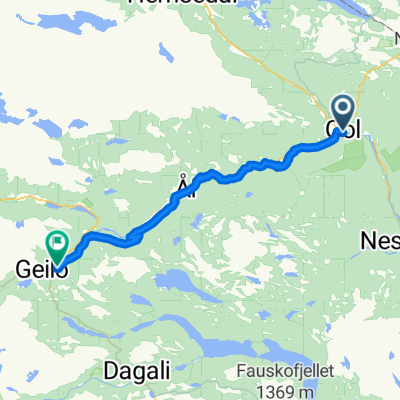
- Gol, Buskerud, Norway
A cycling route starting in Gol, Buskerud, Norway.
Overview
Round trip of Golsfjellet (app. 40km)
This round trip is for all ages, and it will give you a great view of the nearby mountain areas!
Start at Oset Høyfjellshotell. Follow the road to Guriset, but take off midway through the inclines and follow the dirt road through Stølsdokki and Appelsintreet. Over Flæin you'll ride along an old tractor road (Gamle Gurisetvegen) to lake Lauvsjøen.
The stretch over Flæin is of good quality, but not well suited for the very youngest cyclists or bike trailers. During rainy periods there will be some moisture in parts of the route.
Make a left turn and follow the main road to Lauvset where you make another left and follow the farm road past Fiskedammen pond, Tunnetjern pond and to Vermelie.
Then go app 500 m of tractor road to Skutuset and on to Storefjell. Ride around and behind the hotel, follow the road past Kamben Høyfjellshotell and back to the main road (Fjellheimvegen).
Follow this road to the left until you get back to Oset Høyfjellshotell.
created this 15 years ago
Route quality
Quiet road
30.4 km
(99 %)
Access road
0.3 km
(1 %)
Unpaved
28.6 km
(93 %)
Gravel
27.4 km
(89 %)
Loose gravel
1.2 km
(4 %)
Undefined
2.2 km
(7 %)
Continue with Bikemap
You would like to ride Golsfjellet rundt or customize it for your own trip? Here is what you can do with this Bikemap route:
Free trial for 3 days, or one-time payment. More about Bikemap Premium.
Discover more Premium features.
Get Bikemap PremiumFrom our community
Open it in the app