OB J3 PM
- 55 km
- 833 m
- 360 m
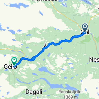
- Gol, Buskerud, Norway
A cycling route starting in Gol, Buskerud, Norway.
Overview
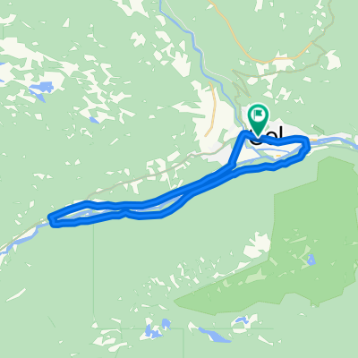
Hallingrittet is a 45 km long bike ride at Golsfjellet in Hallingdal. This trip description is a bit shorter, because some parts of the ride goes both ways on the same road.
This description starts at Gurisetkrysset (crossroad) in the direction of Guriset Høyfjellshotell through Støsdokki. Follow the old Guriset road, which is a medium challenging carriage road, pass Flataskørtjedne and Auenhaugen to Lauvsetkrysset (crossroad). Then pass the Lauvsjøstølen (mountain farm) and follow the old Hjartingstølvegen (carriage road) along Lauvsjøstølen to the main road, and continue to Lauvset.
From Lauvset to Storefjell via Løstegård, Vermeli, Skutuset and Rekkjeset. Between Vermeli and Skutuset there is about 1 km with path/tractor road, but the rest of the road is good gravel road. Follow the marked path and road to Kamben and then continue back to Golsfjell road, pass Ørterstølen and back to Gurisetkrysset (crossroad).
Difficulty: MediumPossibility for bike trolley: NoService: Storefjell, Kamben, Ørterstølen, OsetLowest/highest point: 850/1049 m. Total climbing: 615 m
Have a nice trip!
created this 15 years ago
Route quality
Quiet road
25 km
(74 %)
Track
4.1 km
(12 %)
Unpaved
23 km
(68 %)
Gravel
21.6 km
(64 %)
Loose gravel
1.4 km
(4 %)
Undefined
10.8 km
(32 %)
Continue with Bikemap
You would like to ride Hallingrittet or customize it for your own trip? Here is what you can do with this Bikemap route:
Free trial for 3 days, or one-time payment. More about Bikemap Premium.
Discover more Premium features.
Get Bikemap PremiumFrom our community
Open it in the app