

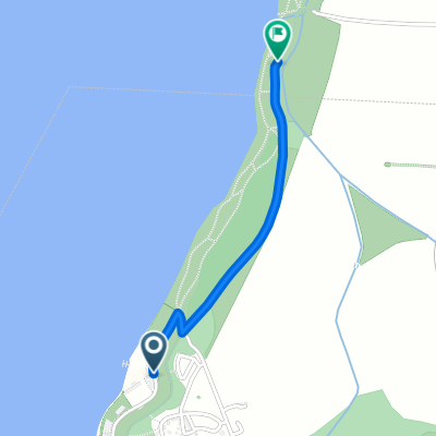
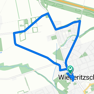
Lindenthal - Werbeliner See
A cycling route starting in Rackwitz, Saxony, Germany.
Overview
About this route
- 2 h 13 min
- Duration
- 40.5 km
- Distance
- 109 m
- Ascent
- 115 m
- Descent
- 18.3 km/h
- Avg. speed
- ---
- Max. altitude

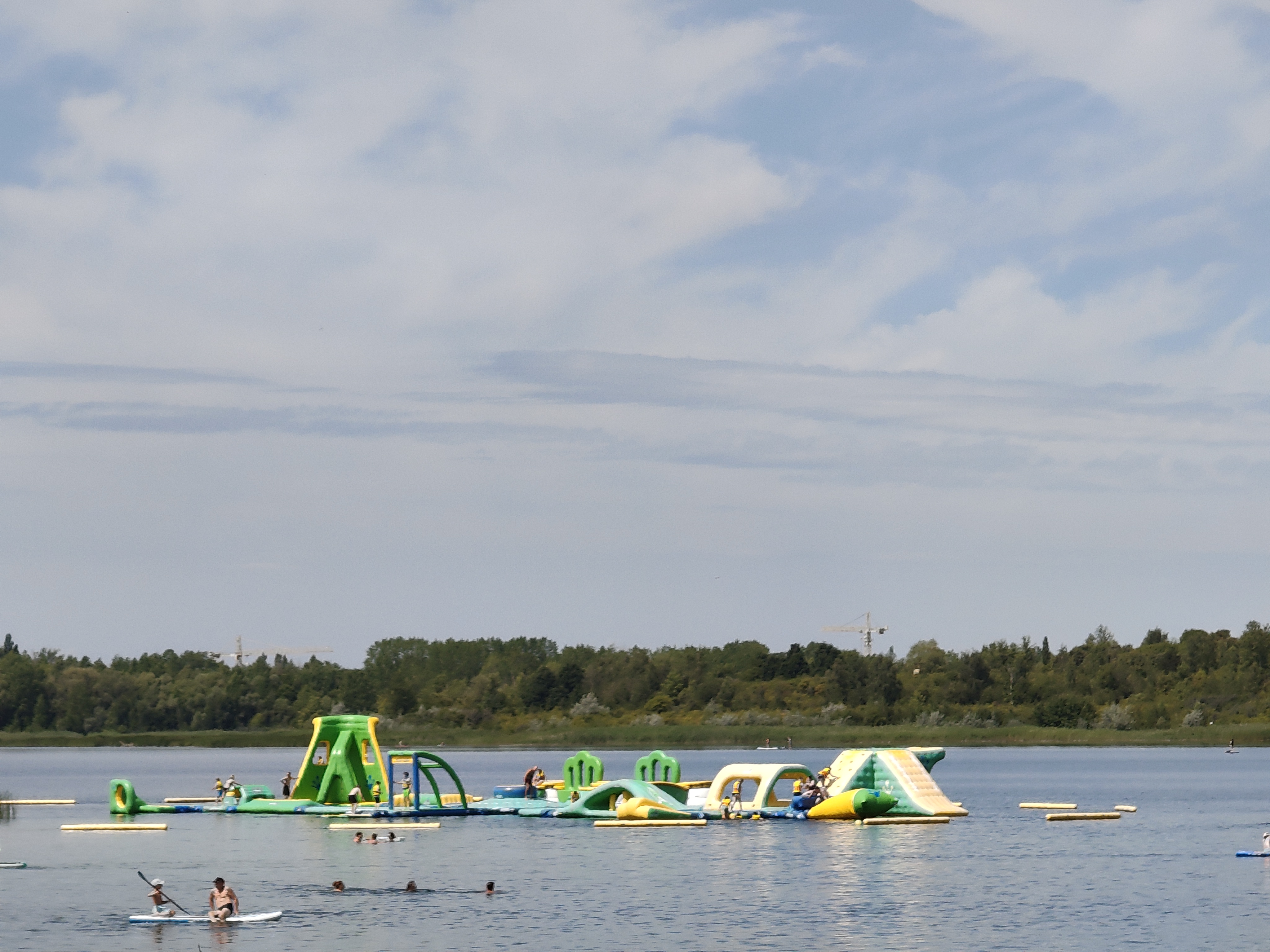
Route photos


Continue with Bikemap
Use, edit, or download this cycling route
You would like to ride Lindenthal - Werbeliner See or customize it for your own trip? Here is what you can do with this Bikemap route:
Free features
- Save this route as favorite or in collections
- Copy & plan your own version of this route
- Sync your route with Garmin or Wahoo
Premium features
Free trial for 3 days, or one-time payment. More about Bikemap Premium.
- Navigate this route on iOS & Android
- Export a GPX / KML file of this route
- Create your custom printout (try it for free)
- Download this route for offline navigation
Discover more Premium features.
Get Bikemap PremiumFrom our community
Other popular routes starting in Rackwitz
 Schladitzer/WerbelinerSee
- Distance
- 63.4 km
- Ascent
- 95 m
- Descent
- 94 m
- Location
- Rackwitz, Saxony, Germany
 Haynaer Straße nach Roba-Straße
- Distance
- 1.3 km
- Ascent
- 4 m
- Descent
- 4 m
- Location
- Rackwitz, Saxony, Germany
 Delitzscher Landstraße nach Karl-Marx-Straße
- Distance
- 9 km
- Ascent
- 144 m
- Descent
- 178 m
- Location
- Rackwitz, Saxony, Germany
 Rundfahrt Rackwitz Biesen
- Distance
- 11.9 km
- Ascent
- 62 m
- Descent
- 62 m
- Location
- Rackwitz, Saxony, Germany
 Lindenthal - Werbeliner See
- Distance
- 40.5 km
- Ascent
- 109 m
- Descent
- 115 m
- Location
- Rackwitz, Saxony, Germany
 Radtour 22.04
- Distance
- 30.9 km
- Ascent
- 44 m
- Descent
- 41 m
- Location
- Rackwitz, Saxony, Germany
 Haynaer Straße nach Löbauer Straße
- Distance
- 24.7 km
- Ascent
- 85 m
- Descent
- 133 m
- Location
- Rackwitz, Saxony, Germany
 Grunner Ring
- Distance
- 67.8 km
- Ascent
- 174 m
- Descent
- 175 m
- Location
- Rackwitz, Saxony, Germany
Open it in the app