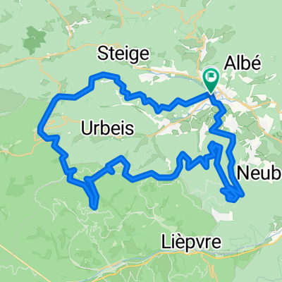
20190525_hwh-rothlach-kienberg-hungerplatz-welschbruch-lhw-hwh_34km-920hm
- 34.1 km
- 888 m
- 891 m
- Villé, Grand Est, France
gefahren am 26.5.19 mit den Matschfindern; Zeit 2:48h; Schnitt 14km/h; Höhe Atmo 727m; Wetter heiter ca. 15°C
Free trial for 3 days, or one-time payment. More about Bikemap Premium.
Discover more Premium features.
Get Bikemap PremiumOpen it in the app