
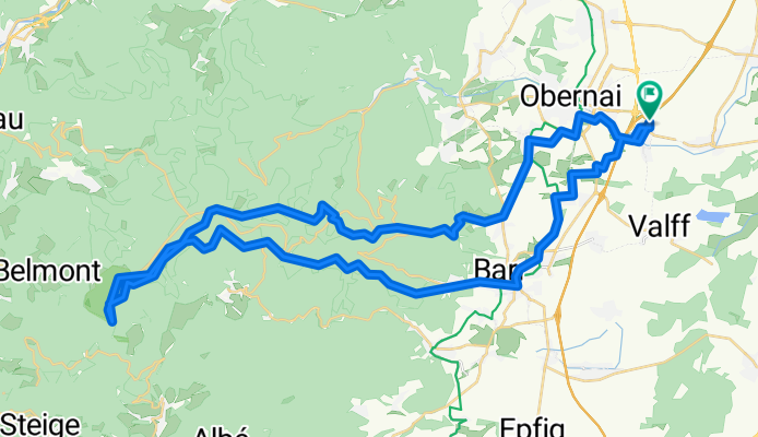
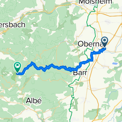
Champ du feu
A cycling route starting in Niedernai, Grand Est, France.
Overview
About this route
- -:--
- Duration
- 56 km
- Distance
- 1,009 m
- Ascent
- 1,011 m
- Descent
- ---
- Avg. speed
- ---
- Max. altitude
Continue with Bikemap
Use, edit, or download this cycling route
You would like to ride Champ du feu or customize it for your own trip? Here is what you can do with this Bikemap route:
Free features
- Save this route as favorite or in collections
- Copy & plan your own version of this route
- Sync your route with Garmin or Wahoo
Premium features
Free trial for 3 days, or one-time payment. More about Bikemap Premium.
- Navigate this route on iOS & Android
- Export a GPX / KML file of this route
- Create your custom printout (try it for free)
- Download this route for offline navigation
Discover more Premium features.
Get Bikemap PremiumFrom our community
Other popular routes starting in Niedernai
 Champ du feu
- Distance
- 56 km
- Ascent
- 1,009 m
- Descent
- 1,011 m
- Location
- Niedernai, Grand Est, France
 velo taf
- Distance
- 31.4 km
- Ascent
- 42 m
- Descent
- 56 m
- Location
- Niedernai, Grand Est, France
 Route in Niedernai
- Distance
- 61.2 km
- Ascent
- 148 m
- Descent
- 146 m
- Location
- Niedernai, Grand Est, France
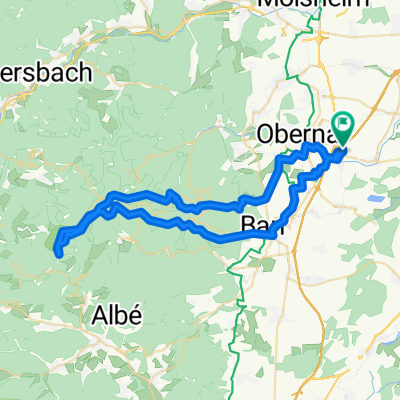
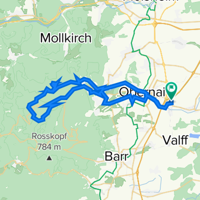
 champ du feu ...
- Distance
- 26.5 km
- Ascent
- 988 m
- Descent
- 92 m
- Location
- Niedernai, Grand Est, France
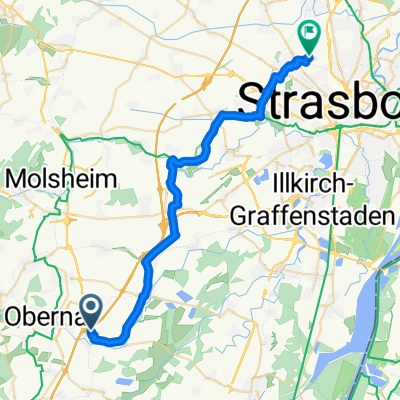
 Place Foegel, Niedernai à Presten'eck, Meistratzheim
- Distance
- 2.3 km
- Ascent
- 3 m
- Descent
- 6 m
- Location
- Niedernai, Grand Est, France
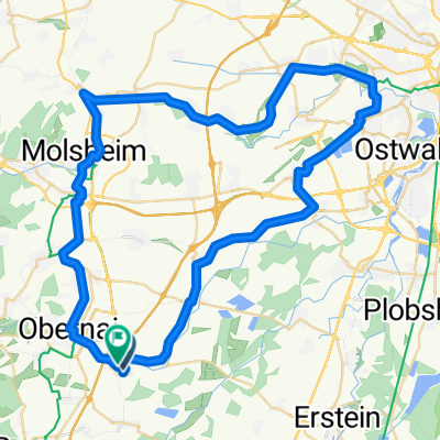
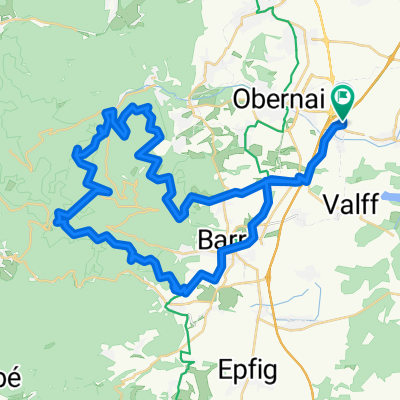 Parcours des 7 châteaux
- Distance
- 54 km
- Ascent
- 1,023 m
- Descent
- 1,025 m
- Location
- Niedernai, Grand Est, France
 Steve Niedernai 2024
- Distance
- 75.8 km
- Ascent
- 497 m
- Descent
- 493 m
- Location
- Niedernai, Grand Est, France
 heidenkopf
- Distance
- 44.1 km
- Ascent
- 913 m
- Descent
- 914 m
- Location
- Niedernai, Grand Est, France
Open it in the app