

Bruck a Z.-Kerschbaumer Sattel-Hygna
A cycling route starting in Breitenbach am Inn, Tyrol, Austria.
Overview
About this route
- -:--
- Duration
- 44.1 km
- Distance
- 693 m
- Ascent
- 693 m
- Descent
- ---
- Avg. speed
- ---
- Max. altitude

Route quality
Waytypes & surfaces along the route
Waytypes
Track
19.4 km
(44 %)
Quiet road
15 km
(34 %)
Surfaces
Paved
29.1 km
(66 %)
Unpaved
5.3 km
(12 %)
Asphalt
29.1 km
(66 %)
Gravel
5.3 km
(12 %)
Undefined
9.7 km
(22 %)
Continue with Bikemap
Use, edit, or download this cycling route
You would like to ride Bruck a Z.-Kerschbaumer Sattel-Hygna or customize it for your own trip? Here is what you can do with this Bikemap route:
Free features
- Save this route as favorite or in collections
- Copy & plan your own version of this route
- Sync your route with Garmin or Wahoo
Premium features
Free trial for 3 days, or one-time payment. More about Bikemap Premium.
- Navigate this route on iOS & Android
- Export a GPX / KML file of this route
- Create your custom printout (try it for free)
- Download this route for offline navigation
Discover more Premium features.
Get Bikemap PremiumFrom our community
Other popular routes starting in Breitenbach am Inn
 Bruck a Z.-Kerschbaumer Sattel-Hygna
- Distance
- 44.1 km
- Ascent
- 693 m
- Descent
- 693 m
- Location
- Breitenbach am Inn, Tyrol, Austria
 Breitenbach Brandenberg Runde II
- Distance
- 44.6 km
- Ascent
- 732 m
- Descent
- 732 m
- Location
- Breitenbach am Inn, Tyrol, Austria
 Wörgler Berg - Niederau
- Distance
- 25.2 km
- Ascent
- 515 m
- Descent
- 517 m
- Location
- Breitenbach am Inn, Tyrol, Austria
 Kundl - Gramai - Pertisau - Schönau
- Distance
- 103.3 km
- Ascent
- 1,236 m
- Descent
- 1,239 m
- Location
- Breitenbach am Inn, Tyrol, Austria
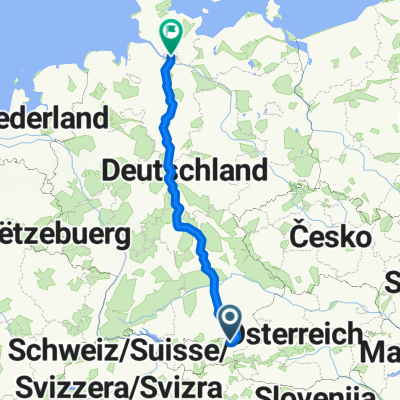 Von Breitenbach am Inn bis Hamburg
- Distance
- 967.1 km
- Ascent
- 5,923 m
- Descent
- 6,436 m
- Location
- Breitenbach am Inn, Tyrol, Austria
 Breitenbach_Grassau89_5
- Distance
- 88.9 km
- Ascent
- 661 m
- Descent
- 631 m
- Location
- Breitenbach am Inn, Tyrol, Austria
 Hexenwasser
- Distance
- 24.3 km
- Ascent
- 751 m
- Descent
- 125 m
- Location
- Breitenbach am Inn, Tyrol, Austria
 Brandenberg-Steinberg-Achensee-Ronda
- Distance
- 121 km
- Ascent
- 1,542 m
- Descent
- 1,542 m
- Location
- Breitenbach am Inn, Tyrol, Austria
Open it in the app