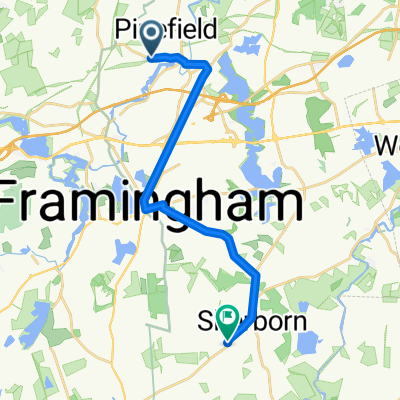
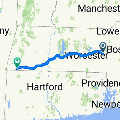
52 Knight Rd Ext, Framingham to 107–267 Cross Road To Canaan Valley, Southfield
- 198.5 km
- 3,238 m
- 3,037 m
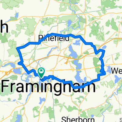
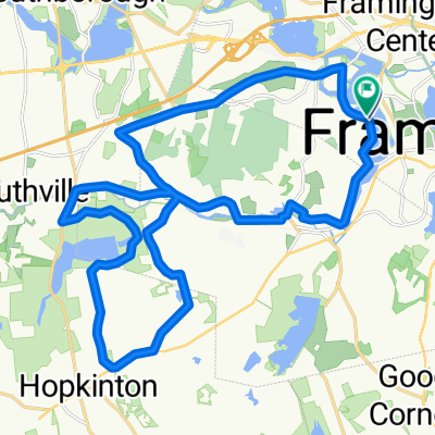
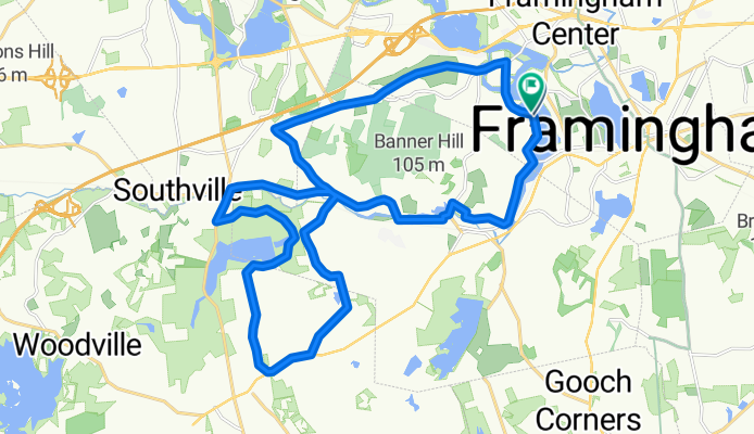
- Framingham Center, Massachusetts, United States
A cycling route starting in Framingham Center, Massachusetts, United States.
Overview
created this 6 years ago
Route quality
Quiet road
13.5 km
46 %
Road
7.6 km
26 %
Paved
17 km
(58 %)
Unpaved
0.3 km
(1 %)
Asphalt
17 km
58 %
Ground
0.3 km
1 %
Undefined
12 km
41 %
Continue with Bikemap
You would like to ride Hopkinton State Park loop or customize it for your own trip? Here is what you can do with this Bikemap route:
Free trial for 3 days, or one-time payment. More about Bikemap Premium.
Discover more Premium features.
Get Bikemap PremiumFrom our community
Open it in the app