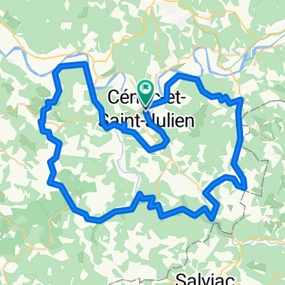
Beynac -- Les Eyzies - Route 2
A cycling route starting in Cénac-et-Saint-Julien, Aquitaine-Limousin-Poitou-Charentes, France.
Overview
About this route
Follows the river all the way. Goes through Coux-et-Bigaroque, could detour to Le Buisson-de-Cadouin, and Le Bugue
- -:--
- Duration
- 43.3 km
- Distance
- 188 m
- Ascent
- 214 m
- Descent
- ---
- Avg. speed
- ---
- Avg. speed
Route quality
Waytypes & surfaces along the route
Waytypes
Quiet road
20.7 km
(48 %)
Road
12.9 km
(30 %)
Surfaces
Paved
16.6 km
(38 %)
Unpaved
1.9 km
(4 %)
Asphalt
16.3 km
(38 %)
Gravel
1.4 km
(3 %)
Continue with Bikemap
Use, edit, or download this cycling route
You would like to ride Beynac -- Les Eyzies - Route 2 or customize it for your own trip? Here is what you can do with this Bikemap route:
Free features
- Save this route as favorite or in collections
- Copy & plan your own version of this route
- Sync your route with Garmin or Wahoo
Premium features
Free trial for 3 days, or one-time payment. More about Bikemap Premium.
- Navigate this route on iOS & Android
- Export a GPX / KML file of this route
- Create your custom printout (try it for free)
- Download this route for offline navigation
Discover more Premium features.
Get Bikemap PremiumFrom our community
Other popular routes starting in Cénac-et-Saint-Julien
- Lengthy ride from August 26, 08:15
- Distance
- 43.1 km
- Ascent
- 897 m
- Descent
- 903 m
- Location
- Cénac-et-Saint-Julien, Aquitaine-Limousin-Poitou-Charentes, France
- Cyclocross de Cénac St Julien UC SARLAT
- Distance
- 2 km
- Ascent
- 51 m
- Descent
- 53 m
- Location
- Cénac-et-Saint-Julien, Aquitaine-Limousin-Poitou-Charentes, France
- Circuit modifié du tour de la communauté
- Distance
- 78 km
- Ascent
- 778 m
- Descent
- 778 m
- Location
- Cénac-et-Saint-Julien, Aquitaine-Limousin-Poitou-Charentes, France
- Long ride through Saint-Laurent-la-Vallée
- Distance
- 43.2 km
- Ascent
- 656 m
- Descent
- 653 m
- Location
- Cénac-et-Saint-Julien, Aquitaine-Limousin-Poitou-Charentes, France
- La_Roque_Castelaud_Domme_A_17km
- Distance
- 17.2 km
- Ascent
- 530 m
- Descent
- 530 m
- Location
- Cénac-et-Saint-Julien, Aquitaine-Limousin-Poitou-Charentes, France
- Beynac - Rocamadour - Beynac
- Distance
- 121.6 km
- Ascent
- 1,761 m
- Descent
- 1,665 m
- Location
- Cénac-et-Saint-Julien, Aquitaine-Limousin-Poitou-Charentes, France
- Tour de la communauté des communes du canton de Domme
- Distance
- 72.7 km
- Ascent
- 735 m
- Descent
- 739 m
- Location
- Cénac-et-Saint-Julien, Aquitaine-Limousin-Poitou-Charentes, France
- France 2015 - 01
- Distance
- 19 km
- Ascent
- 394 m
- Descent
- 393 m
- Location
- Cénac-et-Saint-Julien, Aquitaine-Limousin-Poitou-Charentes, France
Open it in the app