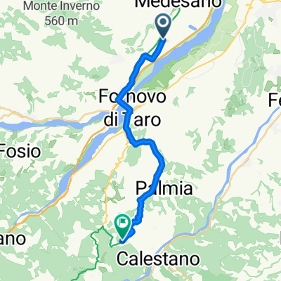
apennin_1
A cycling route starting in Felegara, Emilia-Romagna, Italy.
Overview
About this route
- -:--
- Duration
- 89.7 km
- Distance
- 1,421 m
- Ascent
- 1,542 m
- Descent
- ---
- Avg. speed
- ---
- Max. altitude
Route quality
Waytypes & surfaces along the route
Waytypes
Quiet road
16.2 km
(18 %)
Track
2.7 km
(3 %)
Surfaces
Paved
47.6 km
(53 %)
Unpaved
2.7 km
(3 %)
Asphalt
46.7 km
(52 %)
Ground
1.8 km
(2 %)
Continue with Bikemap
Use, edit, or download this cycling route
You would like to ride apennin_1 or customize it for your own trip? Here is what you can do with this Bikemap route:
Free features
- Save this route as favorite or in collections
- Copy & plan your own version of this route
- Split it into stages to create a multi-day tour
- Sync your route with Garmin or Wahoo
Premium features
Free trial for 3 days, or one-time payment. More about Bikemap Premium.
- Navigate this route on iOS & Android
- Export a GPX / KML file of this route
- Create your custom printout (try it for free)
- Download this route for offline navigation
Discover more Premium features.
Get Bikemap PremiumFrom our community
Other popular routes starting in Felegara
CaseBosc-Fosio-PinetaSol-SLucia- Distance
- 78.8 km
- Ascent
- 1,690 m
- Descent
- 1,690 m
- Location
- Felegara, Emilia-Romagna, Italy
Da Via Grazia Deledda 48, Felegara a Via Grazia Deledda 48, Felegara- Distance
- 13 km
- Ascent
- 137 m
- Descent
- 138 m
- Location
- Felegara, Emilia-Romagna, Italy
Varano 2- Distance
- 18 km
- Ascent
- 559 m
- Descent
- 565 m
- Location
- Felegara, Emilia-Romagna, Italy
29km_Felegara_andrea_Medesano- Distance
- 29.2 km
- Ascent
- 446 m
- Descent
- 447 m
- Location
- Felegara, Emilia-Romagna, Italy
Sant'Andrea - Miano - Medesano- Distance
- 18.4 km
- Ascent
- 246 m
- Descent
- 245 m
- Location
- Felegara, Emilia-Romagna, Italy
Felegara-Pontremoli- Distance
- 66.9 km
- Ascent
- 1,342 m
- Descent
- 1,219 m
- Location
- Felegara, Emilia-Romagna, Italy
Sant'Andrea - Miano - Collecchio- Distance
- 47.9 km
- Ascent
- 510 m
- Descent
- 510 m
- Location
- Felegara, Emilia-Romagna, Italy
1. Tag Cisa- Distance
- 29.2 km
- Ascent
- 921 m
- Descent
- 366 m
- Location
- Felegara, Emilia-Romagna, Italy
Open it in the app

