

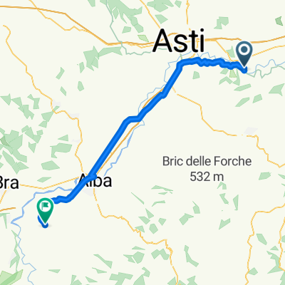
um Asti hin und zurück 50 km 270 hm
A cycling route starting in Rocchetta Tanaro, Piedmont, Italy.
Overview
About this route
- -:--
- Duration
- 49.7 km
- Distance
- 292 m
- Ascent
- 292 m
- Descent
- ---
- Avg. speed
- ---
- Max. altitude
Route quality
Waytypes & surfaces along the route
Waytypes
Road
25.7 km
(52 %)
Quiet road
15.9 km
(32 %)
Surfaces
Paved
6.1 km
(12 %)
Unpaved
3.3 km
(7 %)
Asphalt
6.1 km
(12 %)
Gravel
3.1 km
(6 %)
Continue with Bikemap
Use, edit, or download this cycling route
You would like to ride um Asti hin und zurück 50 km 270 hm or customize it for your own trip? Here is what you can do with this Bikemap route:
Free features
- Save this route as favorite or in collections
- Copy & plan your own version of this route
- Sync your route with Garmin or Wahoo
Premium features
Free trial for 3 days, or one-time payment. More about Bikemap Premium.
- Navigate this route on iOS & Android
- Export a GPX / KML file of this route
- Create your custom printout (try it for free)
- Download this route for offline navigation
Discover more Premium features.
Get Bikemap PremiumFrom our community
Other popular routes starting in Rocchetta Tanaro
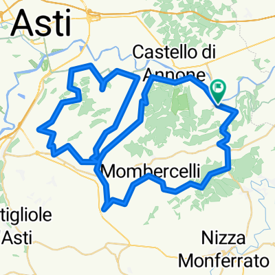
 Da SP27, Rocchetta Tanaro a Piazza Martiri Patrioti, La Morra
- Distance
- 52.2 km
- Ascent
- 668 m
- Descent
- 273 m
- Location
- Rocchetta Tanaro, Piedmont, Italy
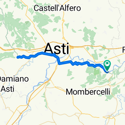
 Giro Asti-Nizza
- Distance
- 64.4 km
- Ascent
- 775 m
- Descent
- 772 m
- Location
- Rocchetta Tanaro, Piedmont, Italy
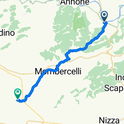 Via Serenella 5–9, Rocchetta Tanaro nach Via Giuseppe Mazzini 83, Agliano Terme
- Distance
- 13.2 km
- Ascent
- 264 m
- Descent
- 131 m
- Location
- Rocchetta Tanaro, Piedmont, Italy
 um Asti hin und zurück 50 km 270 hm
- Distance
- 49.7 km
- Ascent
- 292 m
- Descent
- 292 m
- Location
- Rocchetta Tanaro, Piedmont, Italy
Open it in the app