3 cols Sancy
- 75.9 km
- 2,308 m
- 2,310 m
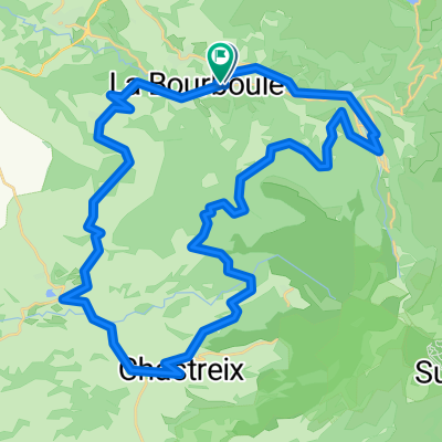
- La Bourboule, Auvergne-Rhône-Alpes, France
A cycling route starting in La Bourboule, Auvergne-Rhône-Alpes, France.
Overview
bourboule - mont dore - croix morand - chambon - voissière - montmie - monneaux - la guiere - col de la croix st robert - mont dore - vendex haut - tour d'auvergne - liournat - bourboule
created this 6 years ago
Route quality
Road
44 km
(62 %)
Quiet road
3.5 km
(5 %)
Paved
25.5 km
(36 %)
Asphalt
24.8 km
(35 %)
Paved (undefined)
0.7 km
(1 %)
Undefined
45.4 km
(64 %)
Continue with Bikemap
You would like to ride BOURBOULE - mont dore-croix morand- chambontour d'auvergne 71km or customize it for your own trip? Here is what you can do with this Bikemap route:
Free trial for 3 days, or one-time payment. More about Bikemap Premium.
Discover more Premium features.
Get Bikemap PremiumFrom our community
Open it in the app