RdGA - Stage 4 (start Moncenisio var Aussois Finish col du Lautaret)
A cycling route starting in Moncenisio, Piedmont, Italy.
Overview
About this route
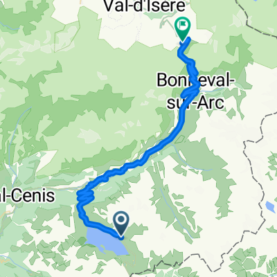
Moncenisio - Mont Cenis - Lanslebourg - Col du Lautaret
Col Mont Cenis - Col de Telegraph - Col de Galibier
- -:--
- Duration
- 119.8 km
- Distance
- 2,992 m
- Ascent
- 2,364 m
- Descent
- ---
- Avg. speed
- ---
- Avg. speed
Route quality
Waytypes & surfaces along the route
Waytypes
Busy road
103 km
(86 %)
Road
7 km
(6 %)
Surfaces
Paved
92.2 km
(77 %)
Unpaved
0.8 km
(<1 %)
Asphalt
92.1 km
(77 %)
Gravel
0.7 km
(<1 %)
Continue with Bikemap
Use, edit, or download this cycling route
You would like to ride RdGA - Stage 4 (start Moncenisio var Aussois Finish col du Lautaret) or customize it for your own trip? Here is what you can do with this Bikemap route:
Free features
- Save this route as favorite or in collections
- Copy & plan your own version of this route
- Sync your route with Garmin or Wahoo
Premium features
Free trial for 3 days, or one-time payment. More about Bikemap Premium.
- Navigate this route on iOS & Android
- Export a GPX / KML file of this route
- Create your custom printout (try it for free)
- Download this route for offline navigation
Discover more Premium features.
Get Bikemap PremiumFrom our community
Other popular routes starting in Moncenisio
- Ciclovia Aida BI20
- Distance
- 943.6 km
- Ascent
- 3,343 m
- Descent
- 5,031 m
- Location
- Moncenisio, Piedmont, Italy
- RdGA - Stage 4 (start Moncenisio var Aussois Finish col du Lautaret)
- Distance
- 119.8 km
- Ascent
- 2,992 m
- Descent
- 2,364 m
- Location
- Moncenisio, Piedmont, Italy
- Fort Malamot
- Distance
- 10.8 km
- Ascent
- 948 m
- Descent
- 80 m
- Location
- Moncenisio, Piedmont, Italy
- 21/08/2015: Primo giro del lago del Moncenisio
- Distance
- 18.3 km
- Ascent
- 367 m
- Descent
- 367 m
- Location
- Moncenisio, Piedmont, Italy
- Fort Ronce
- Distance
- 5.8 km
- Ascent
- 264 m
- Descent
- 231 m
- Location
- Moncenisio, Piedmont, Italy
- giro dei laghi intorno al Moncenisio
- Distance
- 22.3 km
- Ascent
- 857 m
- Descent
- 858 m
- Location
- Moncenisio, Piedmont, Italy
- LAC D'ARPON-PICCOLO MONCENISIO-FORT TURRA-LANSLEBOURG-COL DE LA MET
- Distance
- 64.6 km
- Ascent
- 2,614 m
- Descent
- 1,369 m
- Location
- Moncenisio, Piedmont, Italy
- RdGA - Stage 4 (start Moncenisio var Aussois)
- Distance
- 148.4 km
- Ascent
- 2,980 m
- Descent
- 3,198 m
- Location
- Moncenisio, Piedmont, Italy
Open it in the app