Chur - Thusis - Tiefencastel
A cycling route starting in Chur, Grisons, Switzerland.
Overview
About this route
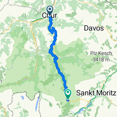
Die Route beginnt in Chur und geht entlang des Schweizer Fernradwegs Nr. 6. Atemberaubende Ausblicke im Rheintal belohnen die Strampelei. Die unbefestigten Wege sind gut mit dem Citybike machbar. Nach Thusis geht es bergauf. Dann führt die Nr. 6 leider auf die Schnellstraße. Es kommt noch schlimmer: die Route geht durch zwei Tunnel. Das ist nur für hartgesottene Landstraßenfahrer zu empfehlen. Bei mir hat die Tunneldurchfahrt hohen Stress ausgelöst. Im Internet habe ich nur eine Seite gefunden, die vor diesem Abschnitt warnt: die Homepage der SBB. Bei der Solidbrücke erholen wir uns bei einem Kaffee von dem Schreck. In Tiefencastel geht es mit dem Zug zurück nach Chur.
- -:--
- Duration
- 40.6 km
- Distance
- 733 m
- Ascent
- 483 m
- Descent
- ---
- Avg. speed
- ---
- Avg. speed
Route photos
Route quality
Waytypes & surfaces along the route
Waytypes
Track
14.6 km
(36 %)
Quiet road
11.1 km
(27 %)
Surfaces
Paved
29.7 km
(73 %)
Unpaved
9.2 km
(23 %)
Asphalt
29.4 km
(72 %)
Gravel
9.2 km
(23 %)
Continue with Bikemap
Use, edit, or download this cycling route
You would like to ride Chur - Thusis - Tiefencastel or customize it for your own trip? Here is what you can do with this Bikemap route:
Free features
- Save this route as favorite or in collections
- Copy & plan your own version of this route
- Sync your route with Garmin or Wahoo
Premium features
Free trial for 3 days, or one-time payment. More about Bikemap Premium.
- Navigate this route on iOS & Android
- Export a GPX / KML file of this route
- Create your custom printout (try it for free)
- Download this route for offline navigation
Discover more Premium features.
Get Bikemap PremiumFrom our community
Other popular routes starting in Chur
- Rota esportiva em Chur
- Distance
- 34.4 km
- Ascent
- 696 m
- Descent
- 696 m
- Location
- Chur, Grisons, Switzerland
- Rota moderada em Chur
- Distance
- 12 km
- Ascent
- 792 m
- Descent
- 792 m
- Location
- Chur, Grisons, Switzerland
- Chur-alter Schyn-Lenzerheide-Brambrüesch-Chur
- Distance
- 63.4 km
- Ascent
- 1,481 m
- Descent
- 1,481 m
- Location
- Chur, Grisons, Switzerland
- RR - Chur - Lenzer Heide - Albula - Julier
- Distance
- 163 km
- Ascent
- 3,409 m
- Descent
- 3,407 m
- Location
- Chur, Grisons, Switzerland
- N. Route naar Italie, Chur-Splugen
- Distance
- 52.5 km
- Ascent
- 1,884 m
- Descent
- 1,001 m
- Location
- Chur, Grisons, Switzerland
- Bündner Herrschaft
- Distance
- 82.4 km
- Ascent
- 456 m
- Descent
- 459 m
- Location
- Chur, Grisons, Switzerland
- Runde ums Lenzerhorn
- Distance
- 99.4 km
- Ascent
- 3,444 m
- Descent
- 3,444 m
- Location
- Chur, Grisons, Switzerland
- Brambrüsch
- Distance
- 33.9 km
- Ascent
- 1,181 m
- Descent
- 1,181 m
- Location
- Chur, Grisons, Switzerland