

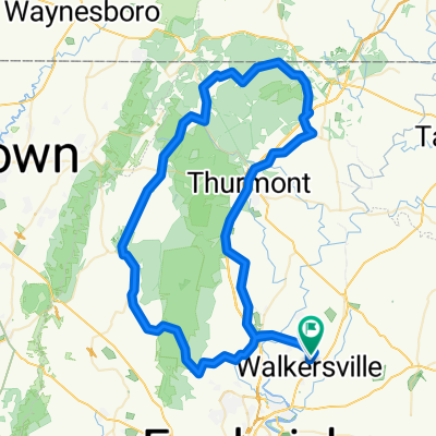
Utica - Woodsboro
A cycling route starting in Walkersville, Maryland, United States of America.
Overview
About this route
- -:--
- Duration
- 23.9 km
- Distance
- 143 m
- Ascent
- 147 m
- Descent
- ---
- Avg. speed
- ---
- Max. altitude

Route quality
Waytypes & surfaces along the route
Waytypes
Busy road
17.8 km
(75 %)
Road
4 km
(17 %)
Surfaces
Paved
4.7 km
(20 %)
Asphalt
4.6 km
(19 %)
Concrete
0.1 km
(<1 %)
Undefined
19.2 km
(80 %)
Continue with Bikemap
Use, edit, or download this cycling route
You would like to ride Utica - Woodsboro or customize it for your own trip? Here is what you can do with this Bikemap route:
Free features
- Save this route as favorite or in collections
- Copy & plan your own version of this route
- Sync your route with Garmin or Wahoo
Premium features
Free trial for 3 days, or one-time payment. More about Bikemap Premium.
- Navigate this route on iOS & Android
- Export a GPX / KML file of this route
- Create your custom printout (try it for free)
- Download this route for offline navigation
Discover more Premium features.
Get Bikemap PremiumFrom our community
Other popular routes starting in Walkersville
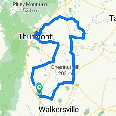
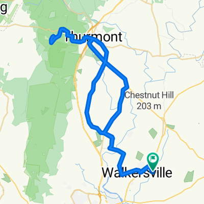 Cunningham 3?
- Distance
- 66.8 km
- Ascent
- 387 m
- Descent
- 387 m
- Location
- Walkersville, Maryland, United States of America
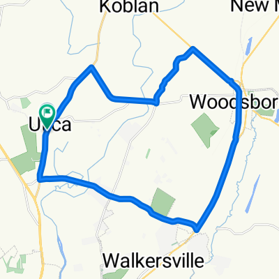 Utica - Woodsboro
- Distance
- 23.9 km
- Ascent
- 143 m
- Descent
- 147 m
- Location
- Walkersville, Maryland, United States of America
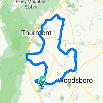
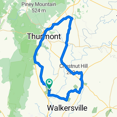 Utica Ride with Ramsey
- Distance
- 61 km
- Ascent
- 247 m
- Descent
- 253 m
- Location
- Walkersville, Maryland, United States of America
 Chicks 3
- Distance
- 40.9 km
- Ascent
- 551 m
- Descent
- 480 m
- Location
- Walkersville, Maryland, United States of America
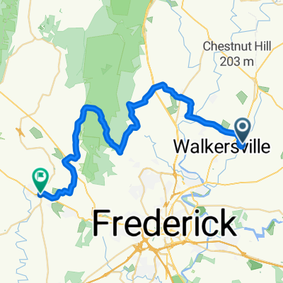
 Utica Bridge Sampler
- Distance
- 64.9 km
- Ascent
- 295 m
- Descent
- 289 m
- Location
- Walkersville, Maryland, United States of America
 Friday Fun
- Distance
- 92.9 km
- Ascent
- 911 m
- Descent
- 912 m
- Location
- Walkersville, Maryland, United States of America
 Covered Bridge Ride
- Distance
- 54.1 km
- Ascent
- 311 m
- Descent
- 311 m
- Location
- Walkersville, Maryland, United States of America
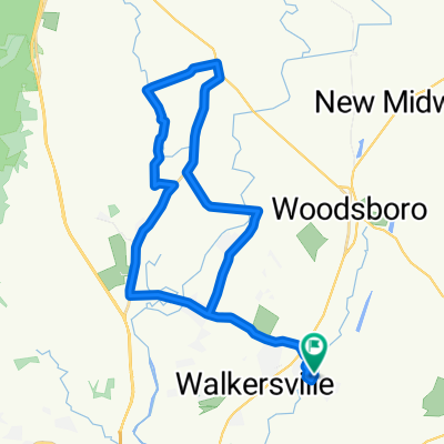 Memorial Day 22 miler
- Distance
- 35.4 km
- Ascent
- 218 m
- Descent
- 218 m
- Location
- Walkersville, Maryland, United States of America
Open it in the app