Aouste - Saint-Gervais-sur-Roubion
- 35.1 km
- 443 m
- 513 m
- Aouste-sur-Sye, Auvergne-Rhône-Alpes, France
A cycling route starting in Aouste-sur-Sye, Auvergne-Rhône-Alpes, France.
Overview
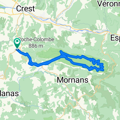
Bourdeaux-Pont de Barret-Saouste-Saillans-La Chaudière-Bourdeaux
created this 6 years ago
Route quality
Road
36.1 km
(51 %)
Quiet road
3.5 km
(5 %)
Paved
42.5 km
(60 %)
Asphalt
42.5 km
(60 %)
Undefined
28.3 km
(40 %)
Continue with Bikemap
You would like to ride Bourdeaux 2 or customize it for your own trip? Here is what you can do with this Bikemap route:
Free trial for 3 days, or one-time payment. More about Bikemap Premium.
Discover more Premium features.
Get Bikemap PremiumFrom our community
Open it in the app