

Training
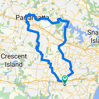
A cycling route starting in Earlwood, New South Wales, Australia.
Overview
About this route
- -:--
- Duration
- 4.8 km
- Distance
- 59 m
- Ascent
- 51 m
- Descent
- ---
- Avg. speed
- ---
- Avg. speed

Route quality
Waytypes & surfaces along the route
Waytypes
Quiet road
1.7 km
(34 %)
Road
1.4 km
(30 %)
Surfaces
Paved
4 km
(82 %)
Paved (undefined)
3.6 km
(75 %)
Asphalt
0.4 km
(7 %)
Undefined
0.9 km
(18 %)
Continue with Bikemap
Use, edit, or download this cycling route
You would like to ride Training or customize it for your own trip? Here is what you can do with this Bikemap route:
Free features
- Save this route as favorite or in collections
- Copy & plan your own version of this route
- Sync your route with Garmin or Wahoo
Premium features
Free trial for 3 days, or one-time payment. More about Bikemap Premium.
- Navigate this route on iOS & Android
- Export a GPX / KML file of this route
- Create your custom printout (try it for free)
- Download this route for offline navigation
Discover more Premium features.
Get Bikemap PremiumFrom our community
Other popular routes starting in Earlwood
 Training
- Distance
- 4.8 km
- Ascent
- 59 m
- Descent
- 51 m
- Location
- Earlwood, New South Wales, Australia
 Clevedon Road 30, Hurstville to Clevedon Road 30, Hurstville
- Distance
- 17 km
- Ascent
- 141 m
- Descent
- 139 m
- Location
- Earlwood, New South Wales, Australia
 宁静的路线 Coledale
- Distance
- 56 km
- Ascent
- 810 m
- Descent
- 864 m
- Location
- Earlwood, New South Wales, Australia
 (Map 5) Kingsgrove to Bexley North
- Distance
- 2 km
- Ascent
- 13 m
- Descent
- 17 m
- Location
- Earlwood, New South Wales, Australia
 Beverly Hills to Parramatta Park via Merrylands and Homebush
- Distance
- 58.8 km
- Ascent
- 222 m
- Descent
- 222 m
- Location
- Earlwood, New South Wales, Australia
 el rock comienza
- Distance
- 2.4 km
- Ascent
- 14 m
- Descent
- 17 m
- Location
- Earlwood, New South Wales, Australia
 12 Vanessa Street, Beverly Hills to 3 Park Road, Hurstville
- Distance
- 4.9 km
- Ascent
- 50 m
- Descent
- 0 m
- Location
- Earlwood, New South Wales, Australia
 (Map 4) Kingsgrove Station to Oliver Street
- Distance
- 1.7 km
- Ascent
- 26 m
- Descent
- 6 m
- Location
- Earlwood, New South Wales, Australia
Open it in the app