

Mayor-Santa Clara Loop
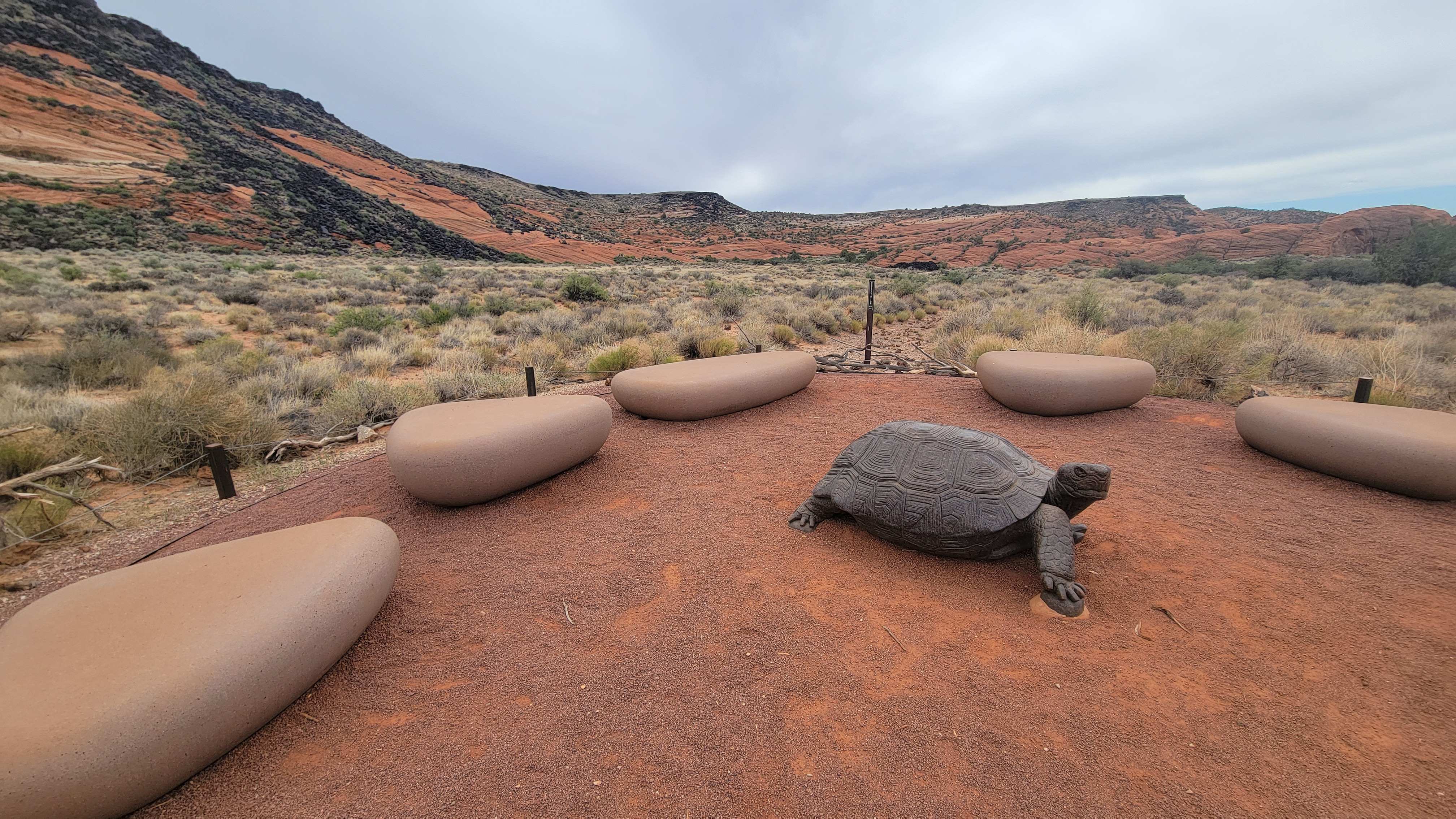
A cycling route starting in St. George, Utah, United States.
Overview
About this route
- 54 min
- Duration
- 18.3 km
- Distance
- 422 m
- Ascent
- 425 m
- Descent
- 20.4 km/h
- Avg. speed
- ---
- Max. altitude

Route quality
Waytypes & surfaces along the route
Waytypes
Cycleway
10.3 km
(56 %)
Path
7 km
(38 %)
Surfaces
Paved
17.8 km
(97 %)
Asphalt
16.9 km
(92 %)
Concrete
0.5 km
(3 %)
Continue with Bikemap
Use, edit, or download this cycling route
You would like to ride Mayor-Santa Clara Loop or customize it for your own trip? Here is what you can do with this Bikemap route:
Free features
- Save this route as favorite or in collections
- Copy & plan your own version of this route
- Sync your route with Garmin or Wahoo
Premium features
Free trial for 3 days, or one-time payment. More about Bikemap Premium.
- Navigate this route on iOS & Android
- Export a GPX / KML file of this route
- Create your custom printout (try it for free)
- Download this route for offline navigation
Discover more Premium features.
Get Bikemap PremiumFrom our community
Other popular routes starting in St. George
 Cross Country - Beginner Track
- Distance
- 4.2 km
- Ascent
- 52 m
- Descent
- 54 m
- Location
- St. George, Utah, United States
 SG River Road South loop
- Distance
- 32.5 km
- Ascent
- 189 m
- Descent
- 188 m
- Location
- St. George, Utah, United States
 Easy ride
- Distance
- 40.2 km
- Ascent
- 567 m
- Descent
- 546 m
- Location
- St. George, Utah, United States
 Mayor-Santa Clara Loop
- Distance
- 18.3 km
- Ascent
- 422 m
- Descent
- 425 m
- Location
- St. George, Utah, United States
 Átlekés a Mojave-sivatagon
- Distance
- 585.6 km
- Ascent
- 5,357 m
- Descent
- 3,587 m
- Location
- St. George, Utah, United States
 SG - Riverside to Veyo loop
- Distance
- 83.6 km
- Ascent
- 659 m
- Descent
- 660 m
- Location
- St. George, Utah, United States
 vegas - palm springs
- Distance
- 664.4 km
- Ascent
- 6,230 m
- Descent
- 6,889 m
- Location
- St. George, Utah, United States
 Cycling Time Trial 20K
- Distance
- 18.3 km
- Ascent
- 164 m
- Descent
- 164 m
- Location
- St. George, Utah, United States
Open it in the app