R140530
- 110.1 km
- 1,649 m
- 1,661 m
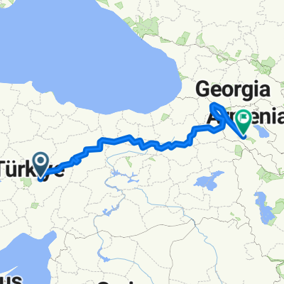
- Kayseri, Kayseri Province, Republic of Türkiye
A cycling route starting in Kayseri, Kayseri Province, Republic of Türkiye.
Overview
created this 6 years ago


Continue with Bikemap
You would like to ride kaniş-karum turu or customize it for your own trip? Here is what you can do with this Bikemap route:
Free trial for 3 days, or one-time payment. More about Bikemap Premium.
Discover more Premium features.
Get Bikemap PremiumFrom our community
Open it in the app