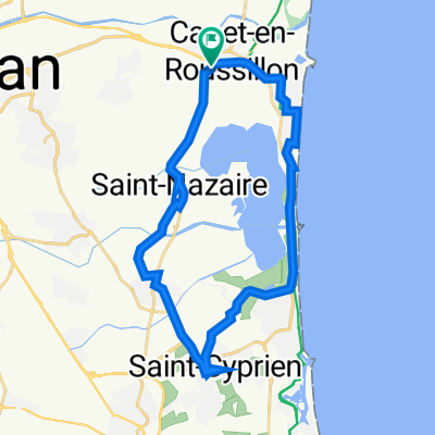
- 79.6 km
- 76 m
- 74 m
- Canet-en-Roussillon, Occitanie, France
le grand huit
A cycling route starting in Canet-en-Roussillon, Occitanie, France.
Overview
About this route
Canet
Ceret
Ribes
Sort
Saint Bertrand
Lourdes
Navarrenx
Bastide Clairance
x
Sare
Saint Just Ibarre
Oloron
x (cirque Gavarnie)
Villelongue
Saint Gaudens
x
Foix
Belfort sur Rebenty
Canet en Roussillon
- -:--
- Duration
- 1,274 km
- Distance
- 6,632 m
- Ascent
- 6,633 m
- Descent
- ---
- Avg. speed
- ---
- Max. altitude
created this 6 years ago
Route quality
Waytypes & surfaces along the route
Waytypes
Road
318.5 km
(25 %)
Quiet road
280.3 km
(22 %)
Surfaces
Paved
535.1 km
(42 %)
Unpaved
89.2 km
(7 %)
Asphalt
509.6 km
(40 %)
Gravel
63.7 km
(5 %)
Route highlights
Points of interest along the route
Point of interest after 389.3 km
plus beau village de france
Point of interest after 553.5 km
plus beau village
Point of interest after 613.3 km
plus beau village de france
Point of interest after 680.3 km
plus beau village
Point of interest after 688.8 km
plus beau village
Point of interest after 738.6 km
plus beau village
Point of interest after 913 km
Gavernie cirque rando 1H
Point of interest after 1,246.9 km
plus beau village
Continue with Bikemap
Use, edit, or download this cycling route
You would like to ride le grand huit or customize it for your own trip? Here is what you can do with this Bikemap route:
Free features
- Save this route as favorite or in collections
- Copy & plan your own version of this route
- Split it into stages to create a multi-day tour
- Sync your route with Garmin or Wahoo
Premium features
Free trial for 3 days, or one-time payment. More about Bikemap Premium.
- Navigate this route on iOS & Android
- Export a GPX / KML file of this route
- Create your custom printout (try it for free)
- Download this route for offline navigation
Discover more Premium features.
Get Bikemap PremiumFrom our community
Other popular routes starting in Canet-en-Roussillon
- Canet / La Franqui
- 1 Rue du Macabeu, Canet-en-Roussillon à 1 Rue du Macabeu, Canet-en-Roussillon
- 27.2 km
- 51 m
- 51 m
- Canet-en-Roussillon, Occitanie, France
- LES HUITRES
- 62.7 km
- 47 m
- 47 m
- Canet-en-Roussillon, Occitanie, France
- Aboretum de Canet
- 6.4 km
- 37 m
- 18 m
- Canet-en-Roussillon, Occitanie, France
- Wild Med Way Draft
- 634.8 km
- 3,543 m
- 3,540 m
- Canet-en-Roussillon, Occitanie, France
- Transpirinaica.0
- 72.8 km
- 577 m
- 33 m
- Canet-en-Roussillon, Occitanie, France
- Canet-en-Rousillon-Portbou
- 60.2 km
- 848 m
- 846 m
- Canet-en-Roussillon, Occitanie, France
- Canet-en-Roussillon nach Collioure
- 32.3 km
- 117 m
- 110 m
- Canet-en-Roussillon, Occitanie, France
Open it in the app


