

Feierabendrunde Chemnitz - Kändler - Hartmannsdorf - Burgstädt - Chemnitztal
A cycling route starting in Chemnitz, Saxony, Germany.
Overview
About this route
Viel zu sagen gibt's hier nicht. Von Chemnitz nach Niederrabenstein, Röhrsdorf, Kändler, Hartmannsdorf, Burgstädt, Taura und durchs Chemnitztal zurück. In letzterem kann man ein wenig Natur genießen, ansonsten hat die Strecke landschaftlich wenig zu bieten.
Insgesamt aber eine schöne Runde, um nach Feierabend nochmal 1,5 h zu entspannen.
Noch ein Hinweis: wer Straßen in schlechtem Zustand gerne meidet, sollte in Hartmannsdorf auf die parallel-verlaufende Burgstädter Straße/Chemnitzer Straße wechseln.
- -:--
- Duration
- 38.4 km
- Distance
- 234 m
- Ascent
- 237 m
- Descent
- ---
- Avg. speed
- ---
- Max. altitude
Route quality
Waytypes & surfaces along the route
Waytypes
Quiet road
11.5 km
(30 %)
Road
6.1 km
(16 %)
Surfaces
Paved
34.2 km
(89 %)
Unpaved
0.4 km
(1 %)
Asphalt
33.1 km
(86 %)
Paved (undefined)
1.2 km
(3 %)
Continue with Bikemap
Use, edit, or download this cycling route
You would like to ride Feierabendrunde Chemnitz - Kändler - Hartmannsdorf - Burgstädt - Chemnitztal or customize it for your own trip? Here is what you can do with this Bikemap route:
Free features
- Save this route as favorite or in collections
- Copy & plan your own version of this route
- Sync your route with Garmin or Wahoo
Premium features
Free trial for 3 days, or one-time payment. More about Bikemap Premium.
- Navigate this route on iOS & Android
- Export a GPX / KML file of this route
- Create your custom printout (try it for free)
- Download this route for offline navigation
Discover more Premium features.
Get Bikemap PremiumFrom our community
Other popular routes starting in Chemnitz
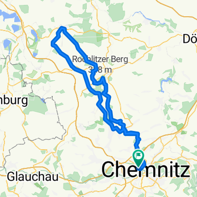 Chemnitz - Rochlitzer Berg - Bad Lausick - Chemnitz 2
- Distance
- 108.4 km
- Ascent
- 546 m
- Descent
- 543 m
- Location
- Chemnitz, Saxony, Germany
 Chemnitz - Kohren Salis
- Distance
- 96.3 km
- Ascent
- 522 m
- Descent
- 526 m
- Location
- Chemnitz, Saxony, Germany
 Abendrunde I
- Distance
- 30.6 km
- Ascent
- 218 m
- Descent
- 218 m
- Location
- Chemnitz, Saxony, Germany
 kleine Runde um Chemnitz mit Abstecher nach Glösa
- Distance
- 30.5 km
- Ascent
- 167 m
- Descent
- 167 m
- Location
- Chemnitz, Saxony, Germany
 Raben-Küch-Wald-Fetzt-Runde
- Distance
- 28.8 km
- Ascent
- 246 m
- Descent
- 254 m
- Location
- Chemnitz, Saxony, Germany
 Zschopextreme
- Distance
- 47.7 km
- Ascent
- 675 m
- Descent
- 677 m
- Location
- Chemnitz, Saxony, Germany
 Goldner Hahn _ Wasserschloß
- Distance
- 34.3 km
- Ascent
- 670 m
- Descent
- 675 m
- Location
- Chemnitz, Saxony, Germany
 4h Runde Chemnitz
- Distance
- 107.7 km
- Ascent
- 582 m
- Descent
- 572 m
- Location
- Chemnitz, Saxony, Germany
Open it in the app