- 36.7 km
- 152 m
- 145 m
- Mendota Heights, Minnesota, United States
B2B00538 55417>55431 via Nokomis Pwy, Blmngtn Ave, 73rd
A cycling route starting in Mendota Heights, Minnesota, United States.
Overview
About this route
- -:--
- Duration
- 14.3 km
- Distance
- 34 m
- Ascent
- 27 m
- Descent
- ---
- Avg. speed
- 261 m
- Max. altitude
created this 17 years ago
Route quality
Waytypes & surfaces along the route
Waytypes
Quiet road
6.1 km
(43 %)
Road
4.3 km
(30 %)
Surfaces
Paved
8.1 km
(57 %)
Asphalt
4.4 km
(31 %)
Paved (undefined)
2.1 km
(15 %)
Route highlights
Points of interest along the route
Point of interest after 10.9 km
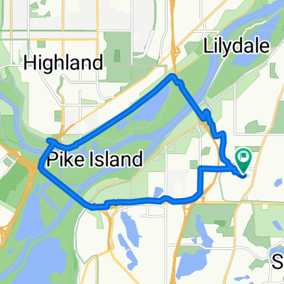
Pedcestrian Bridge. Carrying the bike up and down stairs will be requiried. Alternative is to ride south and cross at 77th (currently closed for construction)
Point of interest after 14.3 km
Northland Office Complex.
Continue with Bikemap
Use, edit, or download this cycling route
You would like to ride B2B00538 55417>55431 via Nokomis Pwy, Blmngtn Ave, 73rd or customize it for your own trip? Here is what you can do with this Bikemap route:
Free features
- Save this route as favorite or in collections
- Copy & plan your own version of this route
- Sync your route with Garmin or Wahoo
Premium features
Free trial for 3 days, or one-time payment. More about Bikemap Premium.
- Navigate this route on iOS & Android
- Export a GPX / KML file of this route
- Create your custom printout (try it for free)
- Download this route for offline navigation
Discover more Premium features.
Get Bikemap PremiumFrom our community
Other popular routes starting in Mendota Heights
- Mississippi River Boulevard South 615-645 to Mississippi River Boulevard South 615-645
- B2B 55116 > 55106 via Summit Ave, Kellogg Blvd E
- 14.3 km
- 40 m
- 63 m
- Mendota Heights, Minnesota, United States
- Northfield
- 72.1 km
- 472 m
- 450 m
- Mendota Heights, Minnesota, United States
- South Minnehaha Drive 4935-4925, Minneapolis to South Minnehaha Drive, Minneapolis
- 39.9 km
- 10 m
- 3 m
- Mendota Heights, Minnesota, United States
- The Origin
- 28 km
- 173 m
- 174 m
- Mendota Heights, Minnesota, United States
- Snail-like route in Mendota Heights
- 14 km
- 325 m
- 325 m
- Mendota Heights, Minnesota, United States
- Wampachs Diner Shakopee
- 43.1 km
- 203 m
- 238 m
- Mendota Heights, Minnesota, United States
- Mostly flat Twin Cities trails ride
- 48.2 km
- 176 m
- 176 m
- Mendota Heights, Minnesota, United States
Open it in the app


